Petrel, North Dakota facts for kids
Quick facts for kids
Petrel, North Dakota
|
|
|---|---|

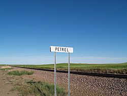
Sign along the railroad tracks in Petrel, North Dakota
|
|
| Country | United States |
| State | North Dakota |
| County | Adams |
| Township | Gilstrap |
| First Settled | 1908 |
| Elevation | 2,566 ft (782 m) |
| Population
(2000)
|
|
| • Total | 28 |
| Time zone | UTC-7 (Mountain (MST)) |
| • Summer (DST) | UTC-6 (MDT) |
| ZIP Code |
57638
|
| Area code(s) | 701 |
| FIPS code | 38-62020 |
| GNIS feature ID | 1033784 |
Petrel is a ghost town located in Adams County, North Dakota. A ghost town is a place where most people have left, and very few, if any, still live there. Petrel is very close to the border with South Dakota. It sits between the towns of Lemmon, South Dakota and Haynes.
Petrel used to be a small town along the Chicago, Milwaukee, St. Paul and Pacific Railroad, which was a major railway. The town was named after long-winged pigeons, a type of bird that was seen in the area.
Contents
History of Petrel
Petrel was started as a townsite in 1908. It was built along the Chicago, Milwaukee, St. Paul and Pacific Railroad in Gilstrap Township. This railway was very important for connecting different parts of the country.
A post office was opened in Petrel on October 29, 1908. Before that, the post office for the nearby area called Thebes was moved to Petrel and given the new name. The Petrel post office closed down on September 30, 1939. After it closed, people in Petrel got their mail from Lemmon, South Dakota. This is why Petrel and the area around it still share Lemmon's ZIP Code of 57638, even though Petrel is in North Dakota.
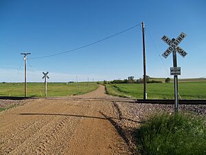
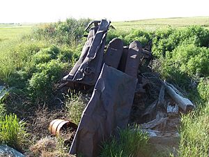
Today, not much is left of the original town. You might see some old building foundations and rusty equipment. The railroad tracks are still there and are used by the BNSF Railway. Petrel is located at mile marker 909.7 on the railway.
Interestingly, the city of Rhame, in a nearby county, was also named Petrel when it was founded in 1908. However, its name was quickly changed to avoid confusion with this Petrel.
Where Petrel is Located
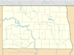
Petrel is about 1 mile (1.6 km) north of the border between North Dakota and South Dakota. It is located about 6 miles (9.7 km) from Lemmon. The town is also about 21 miles (34 km) from Hettinger, which is the main town in Adams County.
Population Changes Over Time
In the mid to late 1910s, about 100 people lived in Petrel. By 1960, the population had dropped to around 65 people. Today, Petrel is considered a ghost town. This means most of its residents have moved away.
The United States Census Bureau no longer tracks the exact number of people living in Petrel itself. However, the wider area around Petrel, known as Gilstrap Township, had a population of 28 people in the year 2000.
Notable People from Petrel
Even though Petrel was a small town, a few people from there became important in North Dakota politics.
- Henry J. Stinger was a member of the Republican Party. He served in the North Dakota House of Representatives from 1913 to 1918. This means he helped make laws for the state of North Dakota.
- Martin Hersrud was also a Republican. He served in the North Dakota House of Representatives from 1911 to 1912.
 | James Van Der Zee |
 | Alma Thomas |
 | Ellis Wilson |
 | Margaret Taylor-Burroughs |


