Pignia facts for kids
Quick facts for kids
Pignia
|
||
|---|---|---|
|
||
| Country | Switzerland | |
| Canton | Graubünden | |
| District | Hinterrhein | |
| Area | ||
| • Total | 13.41 km2 (5.18 sq mi) | |
| Elevation | 1,049 m (3,442 ft) | |
| Population | ||
| • Total | 118 | |
| • Density | 8.80/km2 (22.79/sq mi) | |
| Postal code |
7443
|
|
| Surrounded by | Andeer, Ferrera, Clugin, Donat, Salouf, Zillis-Reischen | |
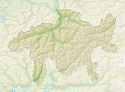
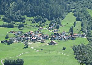
Pignia was once a small town, or "municipality," located in the beautiful Graubünden region of Switzerland. It was part of the Hinterrhein district. Imagine a quiet place nestled in the Swiss Alps!
On January 1, 2009, Pignia officially joined with the nearby town of Andeer. This means Pignia is no longer a separate municipality.
Life in Pignia
Pignia was a small community with about 118 people living there in 2005. It covered an area of about 13.41 square kilometers (which is about 5.18 square miles). The town was located at an elevation of 1,049 meters (about 3,442 feet) above sea level.
Languages Spoken
In Pignia, most people spoke German. However, there was also a good number of people who spoke Romansh. Romansh is one of Switzerland's four national languages, mostly spoken in the Graubünden canton.
Becoming Part of Andeer
In Switzerland, smaller municipalities sometimes merge with larger ones. This helps them share resources and manage things more easily. Pignia joined with Andeer in 2009. This kind of change is common in Switzerland as towns adapt over time.
See also
 In Spanish: Pignia para niños
 | William Lucy |
 | Charles Hayes |
 | Cleveland Robinson |


