Razboyna Glacier facts for kids
Quick facts for kids Razboyna Glacier |
|
|---|---|

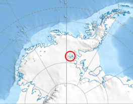
Location of Sentinel Range in Western Antarctica
|
|
| Location | Ellsworth Land |
| Coordinates | 78°42′20″S 84°21′00″W / 78.70556°S 84.35000°W |
| Length | 3 nautical miles (5.6 km; 3.5 mi) |
| Width | 1 nautical mile (1.9 km; 1.2 mi) |
| Thickness | unknown |
| Terminus | Long Peak |
| Status | unknown |
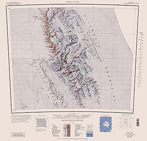
Razboyna Glacier (which means "Razboyna Ice River" in Bulgarian) is a large, slow-moving river of ice found in the very cold land of Antarctica. It's located in the Petvar Heights area, which is part of the Ellsworth Mountains. These mountains are a big part of the Sentinel Range.
This glacier is about 3 nautical miles (that's around 5.5 kilometers) long and 1 nautical mile (about 1.8 kilometers) wide. It sits north of another glacier called Drama Glacier, east of Kornicker Glacier, and south of the lower part of Thomas Glacier. Razboyna Glacier flows northeast, moving ice from the northern slopes of Bagra Peak and ending north of Long Peak.
Discovering Razboyna Glacier
Glaciers are like giant, frozen rivers that move very slowly over land. Razboyna Glacier is one of these amazing natural features in Antarctica. It helps shape the landscape by slowly carving out valleys and moving rocks as it flows.
Where is Razboyna Glacier?
Razboyna Glacier is located in a very remote and icy part of the world: Ellsworth Land in Antarctica. You can find its center at these coordinates: 78°42′20″S 84°21′00″W / 78.70556°S 84.35000°W. This area is known for its extreme cold and vast ice formations.
What's in a Name?
The name "Razboyna Glacier" comes from two towns in Bulgaria. These towns are also called Razboyna and are located in different parts of Bulgaria, one in the northeast and one in the southeast. It's common for places in Antarctica to be named after places or people from countries that explore the continent.
 | Mary Eliza Mahoney |
 | Susie King Taylor |
 | Ida Gray |
 | Eliza Ann Grier |


