Richmond, Sheffield facts for kids
Quick facts for kids Richmond |
|
|---|---|
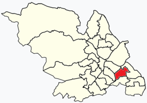
 Shown within Sheffield |
|
| Population | 17,700 (2011) |
| Metropolitan borough | |
| Metropolitan county | |
| Region | |
| Country | England |
| Sovereign state | United Kingdom |
| EU Parliament | Yorkshire and the Humber |
| UK Parliament |
|
| Councillors | Mike Drabble (Labour Party) Dianne Hurst (Labour Party) David Barker (Labour Party) |
Richmond is a neighbourhood, also called a suburb, located in Sheffield, a large city in South Yorkshire, England. You can find it in the eastern part of the city.
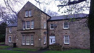
Long ago, Richmond was a very small place with just a few houses. There was also a farm called Richmond Hall Farm, built way back in 1668. This farm was taken down in 1966. Even today, you can still see the old gateposts from the farm. They are now part of a housing area built in the late 1960s.
The area is home to St Catherine of Siena church. This church was designed by a famous architect named Basil Spence.
Contents
What is an Electoral Ward?
Richmond gives its name to one of the 28 electoral wards in Sheffield. An electoral ward is like a local voting area. People living in a ward vote for their local representatives, called councillors. The Richmond ward is in the southern part of the city.
Besides the Richmond neighbourhood itself, the Richmond ward also includes other areas. These are Four Lane Ends, Intake, and Woodthorpe. The whole ward covers about 4.5 square kilometres. In 2011, about 17,724 people lived in the ward, in 7,827 homes. Richmond ward is also one of the five wards that make up the Sheffield Heeley parliamentary area. The boundaries of the ward changed a little bit in May 2016.
Four Lane Ends: A Busy Crossroads
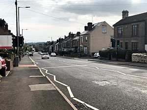
Four Lane Ends is a well-known crossroads. It's where Birley Moor Road meets Mansfield Road. Another road, the B6063, also crosses here. This road comes from Normanton Hill and then becomes Hollinsend Road, leading towards Gleadless. It's a busy spot where many roads meet.
Intake: A 1930s Neighbourhood
Intake is a neighbourhood located south of Manor Top. It was mostly built in the 1930s and is mainly a residential area where people live. Jarvis Cocker, the lead singer of the famous band Pulp, was born in this area. Intake also has a local cemetery.
Woodthorpe: Homes and History
Woodthorpe was also built in the 1930s and is located to the east of Intake. It used to have two pubs, "The High Noon" and "The Springwood." However, "The Springwood" has now closed down and is empty. Woodthorpe also has a primary school which was rebuilt in September 2005.
 | Anna J. Cooper |
 | Mary McLeod Bethune |
 | Lillie Mae Bradford |


