River Gwash facts for kids
Quick facts for kids Gwash |
|
|---|---|
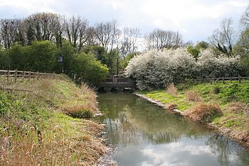
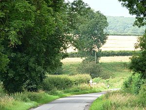
The Gwash at Manton, before it enters Rutland Water
|
|
|
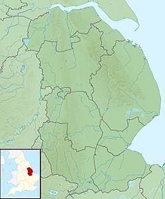
Location of the river mouth in Lincolnshire
|
|
| Country | England |
| Counties | Lincolnshire, Rutland, Leicestershire |
| Physical characteristics | |
| Main source | Knossington 168 m (551 ft) 52°40′20″N 0°49′13″W / 52.672149°N 0.820308°W |
| River mouth | River Welland Stamford 19 m (62 ft) 52°39′15″N 0°27′02″W / 52.654065°N 0.450421°W |
| Length | 39 km (24 mi) |
| Basin features | |
| River system | River Welland |
| Tributaries |
|
The River Gwash is a river in England. It is a smaller river that flows into the River Welland. The Gwash travels through three different counties: Leicestershire, Rutland, and Lincolnshire.
It starts near the village of Knossington in Leicestershire. The river is about 39 kilometers (24 miles) long.
Contents
The Gwash River's Journey
The Gwash begins as several small streams. These streams join together near Braunston-in-Rutland. The river then flows past the old site of Brooke Priory. It continues west, going under a railway line near Manton.
Rutland Water and Beyond
A big part of the Gwash's journey involves Rutland Water. This is a large reservoir that was created by building a dam across the Gwash valley at Empingham. Water from the Gwash helps fill this important reservoir.
After the reservoir, some water is released from the dam. This helps keep the river flowing past places like Tolethorpe Hall and Stamford. The Gwash then joins the River Welland.
A smaller stream called the North Brook also flows into the Gwash near Empingham. This extra water is very important. It helps keep the river healthy for fish and other river animals.
River Features Near Stamford
East of Stamford, the river's path is now set. However, it flows through a small flood plain. This area shows signs of where the river used to twist and turn a lot.
In wet weather, some low areas in the fields fill with water. These can look like oxbow lakes, which are U-shaped lakes formed when a river changes its course. Near Stamford, the Gwash also marks the boundary between Stamford and Uffington.
West of Stamford, the Gwash used to cross the Stamford Canal. This required special water systems to manage the flow. Even though the canal has been dry for over 100 years, some old structures like the Borderville weir were only recently removed. This has allowed some of the river's natural bends to fill with water again.
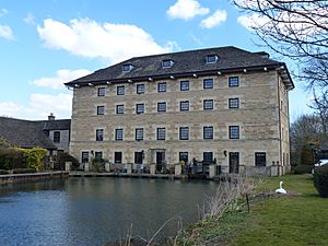
The river also flows into a millpond at Newstead Mill. This is in the area of Uffington. Finally, the Gwash meets the Welland at Newstead Bridge, just east of Stamford.
River Wildlife
The River Gwash is home to many different kinds of fish. You can find fish like grayling and trout here. In the lower parts of the river, near Stamford, there are also chub and dace.
There are efforts to bring back water voles to the area. These small animals are an important part of the river's ecosystem.
However, there are concerns about signal crayfish. These are not native to the river and can harm the local wildlife. There have been reports of them being put into the river on purpose. The Gwash has been part of trials to try and control these non-native crayfish.
The Name of the Gwash
The name "Gwash" comes from an old English word, (ge)waesc. This word meant "a washing" or "a flood." The earliest way the name was written was "le Whasse" around the year 1230. The letter 'G' at the beginning first appeared in 1586. The spelling "Gwash" looks a bit like a Welsh word.
The Gwash in Poetry
A local poet named John Clare wrote a poem about the Gwash. It was a sonnet, which is a type of poem with 14 lines. This poem was published in 1820 in his book called Poems Descriptive of Rural Life and Scenery. In his poem, Clare describes the beautiful and wild scenery around the river. He writes about the green meadows, the hills, and the silver stream. He also mentions the old willow trees and how the river makes him feel peaceful and happy.
 | Tommie Smith |
 | Simone Manuel |
 | Shani Davis |
 | Simone Biles |
 | Alice Coachman |


