Ryer Island facts for kids

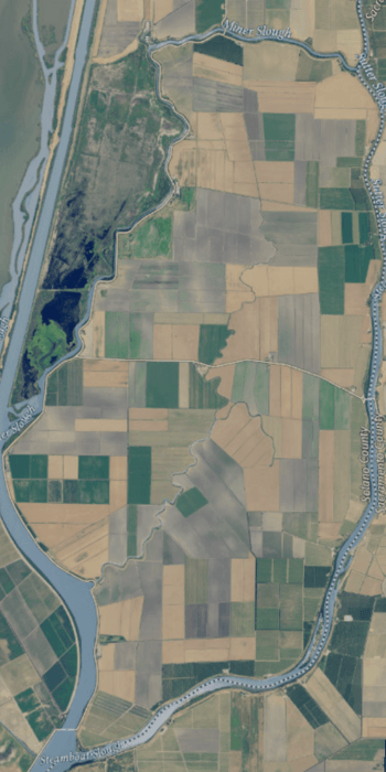
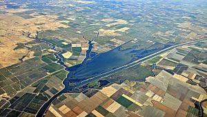
USGS aerial imagery of the island.
|
|
| Geography | |
|---|---|
| Location | Northern California |
| Coordinates | 38°14′37″N 121°37′52″W / 38.24357°N 121.63101°W |
| Adjacent bodies of water | Sacramento-San Joaquin River Delta |
| Area | 11,700 acres (4,700 ha) |
| Administration | |
| State | |
| County | Solano |
Ryer Island is a cool island located in the Sacramento-San Joaquin River Delta in California. It's surrounded by water, with Miner Slough and Steamboat Slough meeting the Sacramento River around it. The island is about 6.5 miles north-northeast of Rio Vista.
Ryer Island is part of Solano County, California. A special group called Reclamation District 501 helps manage the island. The island is quite large, covering about 4,750 hectares (or 11,700 acres).
The island got its name from Dr. Washington M. Ryer and his family. He was an important pioneer in California's early days. Old maps from when California first became a state show this area was once split into two parts: Priest Island on the west and Sutter Island on the east.
How to Get to Ryer Island: Ferries!
Getting to Ryer Island is an adventure because you can take a ferry! The California Department of Transportation (also known as Caltrans) runs two ferry services that connect the island to nearby areas. These ferries help cars and people travel across the water.
- The Ryer Island Ferry connects to Highway 84 going south towards Rio Vista.
- The Howard Landing Ferry connects to Highway 220 going east towards Ryde.
Once you are on Ryer Island, Highway 220 ends when it meets Highway 84. Highway 84 then leaves the island by crossing a bridge to the north, heading towards West Sacramento.
 | John T. Biggers |
 | Thomas Blackshear |
 | Mark Bradford |
 | Beverly Buchanan |


