Saviers Peak facts for kids
Quick facts for kids Saviers Peak |
|
|---|---|
| Highest point | |
| Elevation | 10,441 ft (3,182 m) |
| Prominence | 1,761 ft (537 m) |
| Geography | |
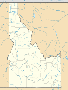
| Location | Blaine County, Idaho, U.S. |
| Parent range | Smoky Mountains |
| Topo map | USGS Galena |
Saviers Peak is a very tall mountain in the Smoky Mountains of Idaho. It stands at 10,441 feet (3,182 meters) above sea level. This makes it the highest point in the entire Smoky Mountains range.
About Saviers Peak
Saviers Peak is a major landmark in the beautiful state of Idaho. It is part of a mountain range known for its stunning views. The peak's height makes it a challenge for climbers. It also offers amazing sights for those who reach its top.
Where is Saviers Peak?
This impressive mountain is found in Blaine County, Idaho. It is located in the central part of the state. Saviers Peak is about half a mile (0.8 kilometers) north of the border with Camas County.
The peak is also inside the Sawtooth National Recreation Area. This is a special protected area known for its natural beauty. It sits south of a place called Galena Summit. Saviers Peak is close to other mountains too. It is about 0.6 miles (1 kilometer) northeast of Camas County Highpoint. It is also about 0.6 miles (1 kilometer) southeast of Bromaghin Peak.
Exploring Saviers Peak
Getting to Saviers Peak can be an adventure! There are no official trails that lead directly to the peak. This means it is a place for experienced hikers.
The easiest way to reach the area is from the north. You can start at the Titus Lake trailhead. This trailhead is located along Idaho State Highway 75. From there, people can begin their journey towards the peak.
 | William Lucy |
 | Charles Hayes |
 | Cleveland Robinson |


