Schell Creek Range facts for kids
Quick facts for kids Schell Creek Range |
|
|---|---|
 |
|
| Highest point | |
| Peak | North Schell Peak |
| Elevation | 11,883 ft (3,622 m) |
| Dimensions | |
| Length | 132 mi (212 km) North-South |
| Geography | |

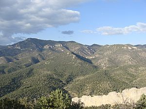
The southern tip of the Schell Creek Range is on the Great Basin Divide along the White River (Nevada) basin.
|
|
| Location | Schellbourne Pass |
| Country | United States |
| Range coordinates | 39°48′20″N 114°38′55″W / 39.8054912°N 114.6486315°W |
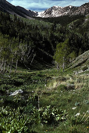
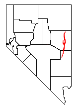
The Schell Creek Range is a long mountain range in eastern Nevada. It stretches for about 132 miles (212 kilometers) from north to south. Most of this range is part of the Humboldt-Toiyabe National Forest. Some areas are also protected within the High Schells Wilderness.
Contents
Exploring the Schell Creek Range
The Schell Creek Range has two main parts: a southern section and a northern section. Each part has its own unique features and peaks.
Southern Peaks and Passes
The southern part of the range starts near Burnt Peak. It rises to Mount Grafton, which is 10,990 feet (3,350 meters) high. This peak is just north of the border with Lincoln County. To the west of this area are remote Cave Valley and the Egan Range. To the east, you'll find U.S. Route 93 and the Fairview Range.
North of Mount Grafton, the mountains get lower. They eventually reach Connors Pass, which is 7,723 feet (2,354 meters) high. This is where U.S. Route 50 crosses the range. This road is known as the "Loneliest Highway in America." It connects the town of Ely with Great Basin National Park and western Utah.
Northern Peaks and Scenery
North of Connors Pass, the range becomes much higher. To the west is the city of Ely, Nevada. To the east are Spring Valley and the tall Snake Range. The Snake Range includes Great Basin National Park and high peaks like Wheeler Peak and Mount Moriah.
Within the northern Schell Creek Range, you can visit Cave Lake State Park. There's also a scenic road over Success Summit that leads into Duck Creek Basin. The mountain crest continues to rise here. It reaches South Schell Peak at 11,785 feet (3,592 meters). Taft Peak is 11,734 feet (3,577 meters) high. The highest point in the entire range is North Schell Peak, which stands at 11,883 feet (3,622 meters). Nearby, you can find the Timber Creek and Berry Creek campgrounds. These are great places to start a hike.
Historic Trails and Becky Peak
After North Schell Peak, the range slowly gets lower. It drops to Schellbourne Pass, which is 7,984 feet (2,433 meters) high. This pass was an important route in the past. The Overland Stage Line, the Pony Express, and the Transcontinental Telegraph all passed through here. They used this route to cross the Great Basin.
Just west of the range was the Egan Canyon Pony Express Station. From Schellbourne Pass, the range rises again to Becky Peak, which is 10,008 feet (3,050 meters) high. After Becky Peak, the mountains quickly descend to the flat floor of Steptoe Valley, near Lages Station.
 | Shirley Ann Jackson |
 | Garett Morgan |
 | J. Ernest Wilkins Jr. |
 | Elijah McCoy |


