Seafar facts for kids
Quick facts for kids Seafar |
|
|---|---|
| OS grid reference | NS756748 |
| Council area | |
| Lieutenancy area | |
| Country | Scotland |
| Sovereign state | United Kingdom |
| Post town | GLASGOW |
| Postcode district | G67 |
| Dialling code | 01236 |
| Police | Strathclyde |
| Fire | Strathclyde |
| Ambulance | Scottish |
| EU Parliament | Scotland |
| UK Parliament |
|
| Scottish Parliament |
|
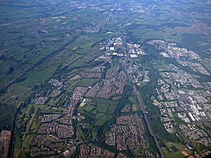
Seafar is a part of the town of Cumbernauld in Scotland. It used to be a sand pit and a farm. These original spots were located where the A8011 road is now.
In the early days of Cumbernauld, Seafar felt more separate from nearby areas like Ravenswood and Muirhead. This was probably because of how buildings were put up and how paths were signed. Today, Seafar feels more important, perhaps because its name appears on road signs, while Ravenswood and Muirhead do not.
Contents
Where is Seafar Located?
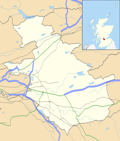
Seafar is found south of the M80 motorway. It is next to Seafar Wood, a forest that was planted when the town was being built. This area was the second part of the new town of Cumbernauld to be developed.
What Are the Streets Like in Seafar?
Many streets in Seafar are named after famous Scottish artists and writers. This gives the area a unique and creative feel.
Schools and Community Places
St Mary's is the local Roman Catholic primary school in Seafar. There used to be a school called Seafar Primary, but it was taken down in 2004. In its place, new housing for older people was built.
Next to St Mary's Primary school, you can find a Kingdom Hall, which is a place of worship for Jehovah's Witnesses.
New Homes in Seafar
Some tall apartment buildings in Seafar were taken down. This made space for a new housing project by Sanctuary Homes. More than one hundred new houses on Berryhill Road and Hume Road were finished in March 2018.

 | Emma Amos |
 | Edward Mitchell Bannister |
 | Larry D. Alexander |
 | Ernie Barnes |


