Silverstein Peak facts for kids
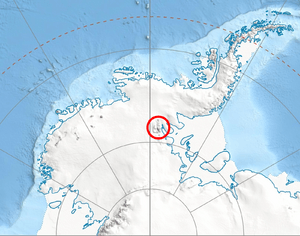
Silverstein Peak is a very tall mountain peak in Antarctica. It stands about 4,790 meters (15,715 feet) high. This peak is found on the western edge of the Vinson Plateau, which is covered in ice. It's part of the Sentinel Range within the Ellsworth Mountains. To its north is the Roché Glacier, and to its southwest is the Zapol Glacier.
The peak was named in 2006 by the United States Advisory Committee on Antarctic Names (US-ACAN). They named it after Dr. Samuel C. Silverstein. He was a member of a special American expedition in 1966-67. This team was the first to climb Vinson Massif and other high mountains in the Sentinel Range.
Where is Silverstein Peak Located?
Silverstein Peak is located at 78°32′51″S 85°38′57″W. This means it's deep in the icy continent of Antarctica.
It is quite close to other important peaks:
- It's about 2.56 kilometers (1.59 miles) south-southwest of the top of Mount Vinson.
- It's about 1.37 kilometers (0.85 miles) west-southwest of Hollister Peak.
- It's about 2.66 kilometers (1.65 miles) north-northwest of Opalchenie Peak.
- It's about 1.32 kilometers (0.82 miles) east of Príncipe de Asturias Peak.
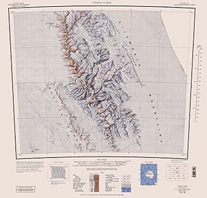
The United States Geological Survey (USGS) mapped this area in 1961 and updated their maps in 1988.
See also
 In Spanish: Monte España para niños
 | Misty Copeland |
 | Raven Wilkinson |
 | Debra Austin |
 | Aesha Ash |


