Roché Glacier facts for kids
Quick facts for kids Roché Glacier |
|
|---|---|

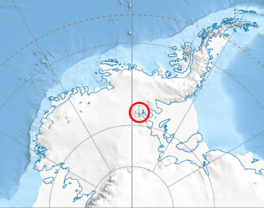
Location of Sentinel Range in Western Antarctica
|
|
| Type | tributary |
| Location | Ellsworth Land |
| Coordinates | 78°32′10″S 85°38′30″W / 78.53611°S 85.64167°W |
| Length | 3 nautical miles (5.6 km; 3.5 mi) |
| Width | 1 nautical mile (1.9 km; 1.2 mi) |
| Thickness | unknown |
| Terminus | Branscomb Glacier |
| Status | unknown |
Roché Glacier (which is lednik Roshe in Bulgarian) is a long and wide river of ice. It's found in a very cold place called Antarctica. This glacier is about 5.8 kilometers (3.6 miles) long and 2 kilometers (1.2 miles) wide. It flows from the middle of the Vinson Plateau, which is a high, flat area of ice.
The glacier is part of the Sentinel Range in the Ellsworth Mountains. It starts near some tall peaks like Mount Vinson to the north. Other peaks surrounding its beginning are Corbet Peak and Clinch Peak to the east. To the southeast is Wahlstrom Peak, and to the south is Hollister Peak. Roché Glacier flows westwards and then drops steeply near Silverstein Peak. It eventually joins another glacier called Branscomb Glacier.
How Roché Glacier Got Its Name
This glacier is named after a brave British explorer named Anthony de la Roché. He was a pioneer in exploring Antarctica. In 1675, he discovered the first land in the Antarctic region. This land is now known as South Georgia. It was a very important discovery for understanding the world's geography.
Where is Roché Glacier?
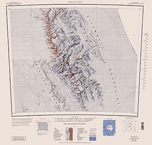
Roché Glacier is located at 78°32′10″S 85°38′30″W / 78.53611°S 85.64167°W. This is in a part of Antarctica called Ellsworth Land. Scientists have made maps of this area many times. The United States created maps in 1961, 1988, and 2007 to show its exact location.
 | Aurelia Browder |
 | Nannie Helen Burroughs |
 | Michelle Alexander |


