Sirma Glacier facts for kids
Quick facts for kids Sirma Glacier |
|
|---|---|

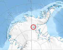
Location of Sentinel Range in Western Antarctica
|
|
| Type | tributary |
| Location | Ellsworth Land |
| Coordinates | 78°47′00″S 85°04′40″W / 78.78333°S 85.07778°W |
| Length | 4 nautical miles (7.4 km; 4.6 mi) |
| Width | 2 nautical miles (3.7 km; 2.3 mi) |
| Thickness | unknown |
| Terminus | Nimitz Glacier |
| Status | unknown |
The Sirma Glacier (which is lednik Sirma in Bulgarian) is a large river of ice located in Antarctica. It is about 4 nautical miles (7.4 km) long and 2 nautical miles (3.7 km) wide. This glacier flows through the western part of Owen Ridge, which is a mountain range in the southern Sentinel Range.
The Sirma Glacier is part of the Ellsworth Mountains. It is found south of another glacier called Bolgrad Glacier. The Sirma Glacier flows towards the west-southwest. It starts near mountains like Mount Southwick, Mount Milton, and Mount Inderbitzen. After leaving these mountains, it joins the Nimitz Glacier, which is located northwest of Modren Peak.
This glacier is named after Sirma Voyvoda (1773-1858). She was a brave Bulgarian woman who led groups of rebels. These groups fought for freedom during a time when Bulgaria was under Ottoman rule.
Where is Sirma Glacier Located?
The Sirma Glacier is located at coordinates 78°47′00″S, 85°04′40″W. This means it is very far south on Earth, close to the South Pole.
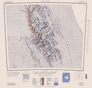
Maps of this area were first made by the United States in 1961. These maps were later updated in 1988 to be even more accurate.
 | John T. Biggers |
 | Thomas Blackshear |
 | Mark Bradford |
 | Beverly Buchanan |


