Stagecoach, Nevada facts for kids
Quick facts for kids
Stagecoach, Nevada
|
|
|---|---|
| Country | United States |
| State | Nevada |
| County | Lyon |
| Area | |
| • Total | 8.35 sq mi (21.61 km2) |
| • Land | 8.35 sq mi (21.61 km2) |
| • Water | 0.00 sq mi (0.00 km2) |
| Elevation | 4,347 ft (1,325 m) |
| Population
(2020)
|
|
| • Total | 2,022 |
| • Density | 242.30/sq mi (93.55/km2) |
| Time zone | UTC-8 (Pacific (PST)) |
| • Summer (DST) | UTC-7 (PDT) |
| ZIP codes |
89429
|
| FIPS code | 32-68800 |
| GNIS feature ID | 0850746 |
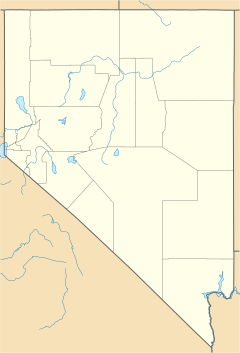
Stagecoach is a small community in Lyon County, Nevada, United States. It is located east of Reno. Stagecoach is known as a census-designated place (CDP). This means it is a place that the government counts for population, even though it doesn't have its own city government.
The name "Stagecoach" likely comes from its history. It was once a stop for the Overland Stagecoach line at a place called Desert Well. In the past, mail going to California often traveled by steamship through Panama. But in 1857, the Overland Mail Company started. Desert Well became an important stop for both stagecoaches and the Pony Express, which carried mail by horseback.
As of the 2020 census, about 2,022 people live in Stagecoach.
Where is Stagecoach Located?
Stagecoach is found along U.S. Route 50. It is about 9 miles (14 km) west of Silver Springs. The community is also 16 miles (26 km) northeast of Dayton. It is about 27 miles (43 km) east of Carson City, the capital of Nevada.
The area of Stagecoach is about 8.3 square miles (21.6 square kilometers). All of this area is land.
How Many People Live Here?
Stagecoach has grown over the years. The number of people living there has changed.
- 2020: 2,022 people
This information comes from the U.S. Decennial Census, which counts the population every ten years.
See also
 In Spanish: Stagecoach (Nevada) para niños


