Surveyor Lake (Nipissing District) facts for kids
Quick facts for kids Surveyor Lake |
|
|---|---|
| Location | Nipissing District, Ontario |
| Coordinates | 46°47′09″N 79°58′40″W / 46.78583°N 79.97778°W |
| Primary inflows | Temagami River |
| Primary outflows | Temagami River |
| Basin countries | Canada |
| Max. length | 2 km (1.2 mi) |
| Max. width | 0.7 km (0.43 mi) |
| Surface elevation | 292 m (958 ft) |
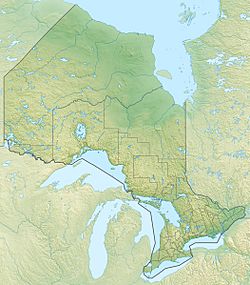
Surveyor Lake is a beautiful lake located in Nipissing District, Ontario, Canada. It's about 30 kilometres (19 mi) southwest of a community called Temagami.
About Surveyor Lake
Surveyor Lake is part of the huge Lake Huron drainage basin. This means that water from Surveyor Lake eventually flows into Lake Huron. It's like a big network of rivers and lakes all connected!
Size and Location
The lake is about 2 kilometres (1.2 mi) long and 0.7 kilometres (0.4 mi) wide. Imagine walking around it – that's quite a distance! It sits at an elevation of 292 metres (958 ft) above sea level. This means it's pretty high up compared to the ocean.
How Water Flows In and Out
The main river that flows into Surveyor Lake is the Temagami River. It enters the lake from the north, bringing water from Cross Lake. These rivers and streams that flow into a lake are called inflows.
Besides the Temagami River, three other small streams also flow into Surveyor Lake. One comes from the east, one from the west, and another from the direction of Smith Lake in the northeast.
The main river that flows out of Surveyor Lake is also the Temagami River. It leaves the lake from the south. Rivers that flow out of a lake are called outflows. The water then travels towards Red Cedar Lake. There's also a dam called the Cross Lake Dam that helps control how much water flows out of Surveyor Lake.
 | Aaron Henry |
 | T. R. M. Howard |
 | Jesse Jackson |


