Tabuenca facts for kids
Quick facts for kids
Tabuenca
|
|||
|---|---|---|---|
|
|||
| Country | Spain | ||
| Autonomous community | Aragon | ||
| Province | Zaragoza | ||
| Comarca | Campo de Borja | ||
| Area | |||
| • Total | 85 km2 (33 sq mi) | ||
| Elevation | 779 m (2,556 ft) | ||
| Population
(2018)
|
|||
| • Total | 323 | ||
| • Density | 3.800/km2 (9.84/sq mi) | ||
| Time zone | UTC+1 (CET) | ||
| • Summer (DST) | UTC+2 (CEST) | ||
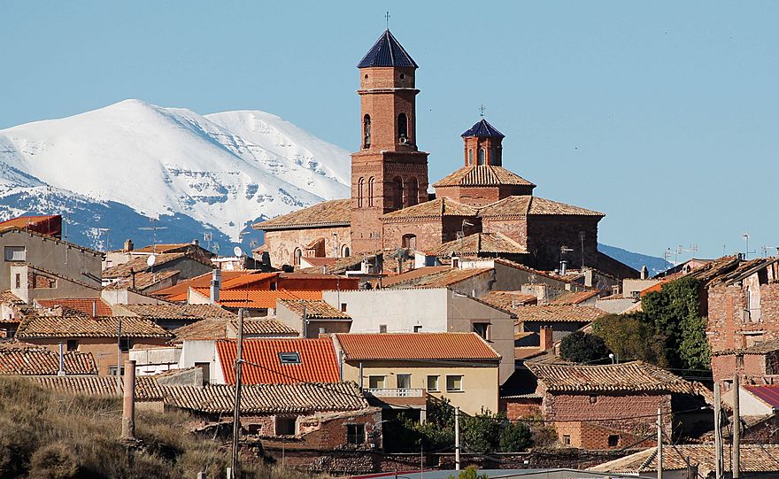
Tabuenca is a small and charming municipality (which is like a town or district) located in the province of Zaragoza, in the Aragon region of Spain. It's a place where about 323 people lived in 2018, according to the official census. Its postal code is 50547.
Contents
Where is Tabuenca Located?
Tabuenca is nestled in a beautiful mountainous area. It's found west of the impressive Moncayo Massif, which is a large mountain range. The town is also very close to the Sierra de Tabuenca.
Exploring the Sierra de Tabuenca
The Sierra de Tabuenca is a mountain range that is also known by another name: Sierra del Bollón. This name comes from its highest point, a peak called El Bollón. This peak stands tall at 1,036 meters (about 3,399 feet) above sea level.
How Many People Live in Tabuenca?
The number of people living in Tabuenca has changed a bit over the years. According to the census taken in 2010, the municipality had a population of 412 inhabitants. More recently, in 2018, the population was recorded as 323 people.
See also
 In Spanish: Tabuenca para niños
 | William M. Jackson |
 | Juan E. Gilbert |
 | Neil deGrasse Tyson |


