Temple Mountain (New Hampshire) facts for kids
Quick facts for kids Temple Mountain |
|
|---|---|
| Highest point | |
| Elevation | 2,045 ft (623 m) |
| Prominence | 568 ft (173 m) |
| Geography | |
| Location | Sharon and Temple, New Hampshire |
| Parent range | Wapack Range |
| Geology | |
| Age of rock | 400 million years |
| Mountain type | ridge; metamorphic rock |
| Climbing | |
| Easiest route | Wapack Trail |
Temple Mountain is a cool mountain in south-central New Hampshire. It is part of the Wapack Range of mountains. This mountain is known for its beautiful views and fun trails. It is a great place for hiking and exploring nature.
Contents
Temple Mountain: A New Hampshire Gem
Temple Mountain is about 2,045 feet tall. It is a long, narrow mountain called a ridge. You can find it in the towns of Sharon, Temple, and Peterborough. A popular path called the Wapack Trail goes right over the mountain. This trail is about 22 miles long!
Exploring the Mountain's Peaks
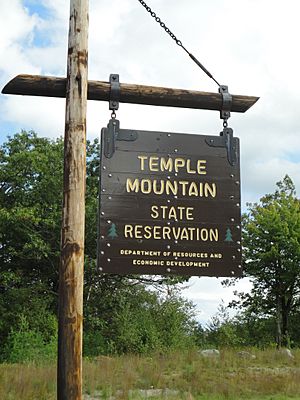
The northern side of Temple Mountain has a special area. It is called the Temple Mountain Reservation Area. This used to be a ski resort! Now, it is a state-owned park covering 350 acres. The mountain itself is about 3.5 miles long. It has several high points. Three of these peaks have names:
- Burton Peak, which is about 2,010 feet high.
- Whitcomb Peak, around 1,710 feet high.
- Holt Peak, which is the very highest point of Temple Mountain.
Amazing Views from the Top
If you hike along the top of Temple Mountain, you will find rocky spots. These spots offer amazing views! You can look west and see Mount Monadnock. You can also see south along the long line of the Wapack Range.
Pack Monadnock Mountain is located right to the north. It is also along the Wapack ridgeline. Kidder Mountain is to the south. The old ski area on the north side of the mountain gives you views in almost every direction.
Water Flowing from the Mountain
Water from the east side of Temple Mountain flows into the Souhegan River. From there, it goes into the Merrimack River. Finally, it reaches the Atlantic Ocean. Water from the west side flows into the Contoocook River. This river also joins the Merrimack River.
 | John T. Biggers |
 | Thomas Blackshear |
 | Mark Bradford |
 | Beverly Buchanan |


