Thomas Kitchin facts for kids
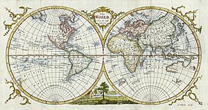
Thomas Kitchin (born 1718, died 1784) was a talented English mapmaker and engraver. He was so good at his job that he became the official mapmaker for the King of England! He also wrote books, including one about the history of the West Indies.
A Mapmaker's Life
Thomas Kitchin was born in a place called Southwark in England. When he was about 14 years old, in 1732, he started learning his trade from another famous mapmaker, Emanuel Bowen. This was like an apprenticeship, where he learned all the skills needed to draw and print maps.
He first worked in Clerkenwell, a part of London. By 1755, Kitchin had set up his own business on Holborn Hill. In 1773, he was given the important job of royal hydrographer to the king. A hydrographer is someone who maps out oceans, seas, and other bodies of water.
Thomas Kitchin lived and worked in London for most of his life. He passed away in St Albans on June 23, 1784.
His Amazing Maps and Books

Thomas Kitchin created many important maps and books during his career. Some of his early works include a map of Scotland for John Elphinstone in 1746, and a book called Geographia Scotiae in 1749. He also worked with Thomas Jefferys on The Small English Atlas in 1749.
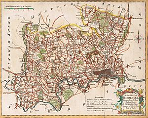
One of his biggest projects was The Large English Atlas, which he worked on with Emanuel Bowen from 1749 to 1760. This was a huge effort to map out England in great detail. In 1755, Kitchin also engraved the famous Mitchell Map of North America.
He was a key mapmaker for the London Magazine, creating 170 maps for them between 1747 and 1783. As the head hydrographer for the King of England, he was responsible for making accurate maps of water bodies. Thomas Kitchin often used information from other mapmakers to help create his own maps.
Besides maps, Kitchin also wrote books. In 1778, his book The Present State of the West-Indies: Containing an Accurate Description of What Parts Are Possessed by the Several Powers in Europe was published. This book described the parts of the West Indies that were controlled by different European countries.

In 1783, he wrote The Traveller's Guide Through England and Wales. This guide listed most towns and cities and showed how many miles they were from London.
Thomas Kitchin was buried in St Alban's Cathedral after he died in June 1784.
See also
 | Frances Mary Albrier |
 | Whitney Young |
 | Muhammad Ali |

