Toulon, Kansas facts for kids
Quick facts for kids
Toulon, Kansas
|
|
|---|---|

|
|
| Country | United States |
| State | Kansas |
| County | Ellis |
| Township | Big Creek |
| Named for | Toulon, France |
| Elevation | 2,001 ft (610 m) |
| Time zone | UTC-6 (CST) |
| • Summer (DST) | UTC-5 (CDT) |
| ZIP code |
67601
|
| Area code | 785 |
| FIPS code | 20-71100 |
| GNIS ID | 484728 |
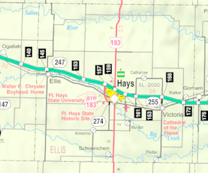
Toulon is a small, unincorporated community in Ellis County, Kansas, United States. This means it's a place where people live, but it doesn't have its own local government like a city or town. Toulon is located in Big Creek Township, just east of the city of Hays, along what used to be a major road called old Highway 40.
Toulon's Story
Toulon probably got its name from the city of Toulon in France. It's interesting how places in America sometimes get names from faraway lands!
For a short time, Toulon had its own post office. It first opened in 1889. It closed for a bit in 1891, then reopened in 1898. However, it closed permanently in 1901. So, for many years now, people in Toulon have gotten their mail from nearby towns.
Where is Toulon?
Toulon is located in a part of Kansas known as the Smoky Hills. This area is part of the much larger Great Plains, which stretches across many states.
Toulon is about 1.8 miles (2.9 km) south of Interstate 70, a big highway that crosses the country. It's also about 2 miles (3.2 km) east of the city limits of Hays. Toulon lies about 4 miles (6.4 km) north of a stream called Big Creek.
Getting Around Toulon
The old path of U.S. Route 40 runs through Toulon. This road is now a paved county road. It goes from the southeast to the northwest through the community.
Another paved county road, Toulon Avenue, runs north and south through the area. This road connects Toulon to an exit on Interstate 70 to the north.
The Kansas Pacific (KP) line of the Union Pacific Railroad also runs through Toulon. It goes in the same direction as the old U.S. Route 40, parallel to it.
 | Tommie Smith |
 | Simone Manuel |
 | Shani Davis |
 | Simone Biles |
 | Alice Coachman |


