Ulster Way facts for kids
Quick facts for kids Ulster Way |
|
|---|---|

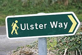
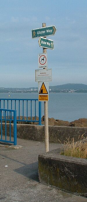
Ulster Way sign near Strangford, August 2009.
|
|
| Length | 625 miles (1,006 kilometres) |
| Location | Northern Ireland Republic of Ireland |
| Trailheads | Belfast |
| Use | Hiking |
| Season | Any |
| Sights | Mourne Mountains, Fermanagh lakeland, Sperrin Mountains, Giant's Causeway |
| Surface | Mountain, field and cliff paths; roads. |
The Ulster Way is a super long walking path that goes all the way around Northern Ireland. It's made up of many different trails. This amazing route was started in the 1970s by a person named Wilfrid Merydith Capper. He got the idea from another famous path called the Pennine Way. The Ulster Way was given a big update and reopened in 2009.
Most of this long path is in Northern Ireland. But some small parts of it actually go into the Republic of Ireland. Along the way, hikers get to see many cool places. These include the beautiful Mourne Mountains and the amazing Giant's Causeway. You can also see Cavehill and the Sperrins. Most parts of the path have clear signs to help you find your way.
History of the Ulster Way
The idea for the Ulster Way began way back in 1946. Wilfrid Capper wanted to create a marked path. This path would go through all six counties of Northern Ireland. It would also connect 15 youth hostels that were open at the time. When it was first finished, this original path was about 665 miles long.
As time went on, some parts of the trail became hard to use. They were not kept up well. Also, more cars on the roads made some sections tricky. It was also unclear who owned some of the land. This meant parts of the path were "lost" or difficult to access.
In April 2003, a plan was announced to fix and care for the Ulster Way. A new path was agreed upon in early 2009. This updated route was officially opened on September 16, 2009. The new path is a bit shorter, at 625 miles. The first people thought to walk the whole new path were two schoolboys. Their names were Matthew Hoper and Simon Harris. They finished the entire route between June 28 and August 4, 2010.
 | James Van Der Zee |
 | Alma Thomas |
 | Ellis Wilson |
 | Margaret Taylor-Burroughs |


