Umtanum Ridge facts for kids

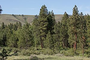
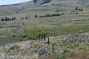
Umtanum Ridge is a long, raised area of land in Washington State, USA. It's found in both Yakima County and Kittitas County. Think of it like a giant wrinkle in the Earth's surface. This type of landform is called an anticline, which means the rock layers have been folded upwards, forming a ridge.
This ridge stretches for about 55 miles (88 kilometers). It runs from the Cascade Range in the west, heading southeast. It goes through the Yakima Training Center and reaches the Columbia River. At its eastern end, Umtanum Ridge touches the Priest Rapids Dam, Hanford Reach, Hanford Reach National Monument, and the Hanford Site.
Umtanum Ridge has two other ridges running alongside it. To its north is Manastash Ridge, and to its south is Yakima Ridge. The Yakima River flows right through Umtanum Ridge, creating a natural opening called the Umtanum Ridge Water Gap.
How Umtanum Ridge Was Formed
Umtanum Ridge is part of a larger area known as the Yakima Fold Belt. This belt is a group of long ridges that all run towards the east.
The Story of the Rocks
These ridges, including Umtanum Ridge, were created by the folding of ancient lava flows. Millions of years ago, during a time called the Miocene epoch, huge amounts of lava erupted. This lava spread out and cooled, forming thick layers of rock called Columbia River basalt.
Over a very long time, these flat layers of basalt rock were slowly pushed and squeezed. This pressure caused the rocks to fold upwards, much like pushing a rug from both ends creates wrinkles. These giant folds formed the ridges we see today, like Umtanum Ridge.
 | Claudette Colvin |
 | Myrlie Evers-Williams |
 | Alberta Odell Jones |


