White Hill (Forest of Bowland) facts for kids
Quick facts for kids White Hill |
|
|---|---|
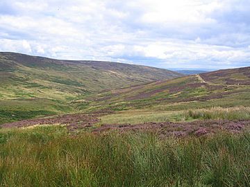
The valley of Croasdale, with the slopes of White Hill on the left.
|
|
| Highest point | |
| Elevation | 544 m (1,785 ft) |
| Prominence | 159 m (522 ft) |
| Parent peak | Ward's Stone |
| Listing | Marilyn |
| Geography | |
| Location | Forest of Bowland, England |
| OS grid | SD673587 |
| Topo map | OS Landranger 103 |
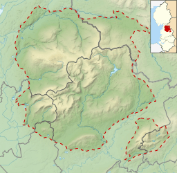
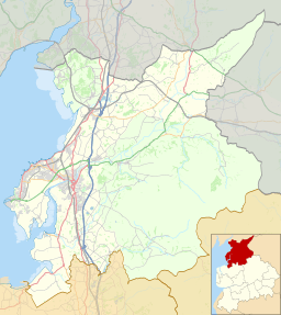
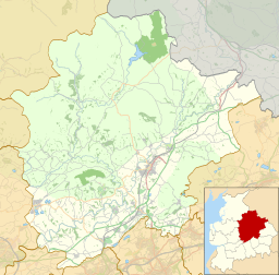
White Hill is a cool hill located in the Forest of Bowland, a beautiful area in north-western England. It sits right on the border between two districts, the City of Lancaster and Ribble Valley. You can find it between the towns of Slaidburn and High Bentham. At the very top of White Hill, there's a small tower and a special marker called a trig point. Long ago, in the Middle Ages, this hill was an important boundary for a powerful area known as the Lordship of Bowland.
Contents
About White Hill
White Hill is a notable landmark in the English countryside. It stands at 544 meters (about 1,785 feet) above sea level. This makes it a good size for a hill, offering great views from its top.
Where is White Hill?
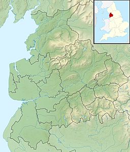
White Hill is part of the Forest of Bowland, which is an official Area of Outstanding Natural Beauty (AONB). This means it's a special place with amazing landscapes. The hill is located in the north-west of England. It acts as a natural border between two local government areas: the City of Lancaster and the Ribble Valley districts. The nearest towns are Slaidburn and High Bentham.
What is a Marilyn?
White Hill is known as a Marilyn. This is a special term for a hill or mountain in the British Isles that has a "prominence" of at least 150 meters (about 492 feet). Prominence means how high the peak rises from the lowest point connecting it to a higher peak. So, White Hill stands out quite a bit from the land around it!
The Summit of White Hill
When you reach the very top of White Hill, you'll find a few interesting things. There's a small tower, which is a distinctive feature of the summit. You will also see a trig point. A trig point is a concrete pillar used by mapmakers to help create accurate maps of the land. They are often found on the highest points of hills and mountains.
A Bit of History
White Hill has been an important place for a long time. In medieval times, which was many centuries ago, the hill marked one of the northernmost edges of the Lordship of Bowland. This "Lordship" was a large and powerful estate. It was ruled by a lord and covered a big area of land. White Hill's position made it a key marker for this historic boundary.
 | Janet Taylor Pickett |
 | Synthia Saint James |
 | Howardena Pindell |
 | Faith Ringgold |


