Whiteside Mountain facts for kids
Quick facts for kids Whiteside Mountain |
|
|---|---|

Whiteside Mountain
|
|
| Highest point | |
| Elevation | 4,930 ft (1,500 m) |
| Geography | |
| Location | Jackson County, North Carolina, U.S. |
| Parent range | Appalachian Mountains |
| Topo map | USGS Highlands |
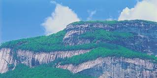
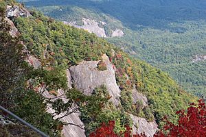
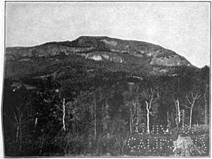
Whiteside Mountain, also known as Sanigilâ'gĭ in the Cherokee language, is a tall mountain in Jackson County, North Carolina. It sits between the towns of Cashiers and Highlands, North Carolina, close to the Georgia border. This mountain is famous for having the highest cliffs in Eastern North America.
Whiteside Mountain also features a unique spot called Devil's Courthouse. This is different from another place with the same name about 20 miles away. For safety, the forest service has limited access to this area since the 1980s. They want to prevent accidents from strong winds or activities like paragliding. There is also a small, platform-like overhang on the mountain, similar to ones found on the Appalachian Trail.
Exploring Whiteside Mountain's Past
Whiteside Mountain has a rich history, especially with the Cherokee people who have lived in this area for a long time. They have their own special name for the mountain, Sanigilâ'gĭ.
Cherokee Legends of the Mountain
The Cherokee people have many interesting stories about Whiteside Mountain. One myth tells of a powerful woman monster named Spear-finger. She was said to have built a bridge all the way from the Hiwassee River to Whiteside Mountain. These legends help us understand the deep connection the Cherokee have with this land.
The Mystery of the De Soto Carving
There's a fascinating story about a carving on the mountain's overhanging edge. For a long time, people believed it said that the explorer Hernando de Soto and his men had been there. The carving was thought to have been made by his crew.
However, it turns out this story was likely a hoax. In 1946, a man named Rev. Herman Miles Alley admitted that he made the carving himself in 1926. He loved the Spanish language and created the inscription during a difficult time in his life. He meant for it to be "a memorial to a future saint." It's a good reminder that not all old stories are exactly as they seem!
 | Jewel Prestage |
 | Ella Baker |
 | Fannie Lou Hamer |


