Barrientos Island facts for kids
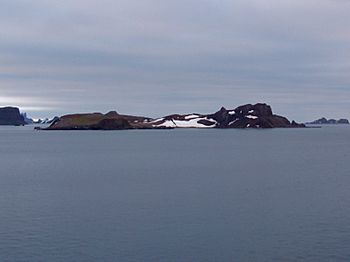
Barrientos Island from English Strait
|
|
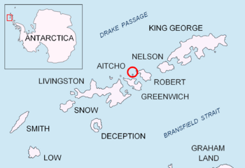
Location of Aitcho Islands in the South Shetland Islands.
|
|
| Geography | |
|---|---|
| Location | Antarctica |
| Coordinates | 62°24′22″S 59°44′53″W / 62.40611°S 59.74806°W |
| Archipelago | Aitcho group |
| Area | 0.9234 km2 (0.3565 sq mi) |
| Length | 1.71 km (1.063 mi) |
| Width | 0.54 km (0.336 mi) |
| Administration | |
| Administered under the Antarctic Treaty System | |
| Demographics | |
| Population | Uninhabited |
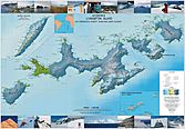
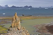
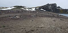
Barrientos Island is a cool, ice-free island located in the Aitcho group. This group of islands is found on the west side of English Strait in the South Shetland Islands, which are part of Antarctica.
The island is about 1.71 kilometers long and 0.54 kilometers wide. Its total surface area is around 65 hectares. Long ago, in the early 1800s, people who hunted seals visited this area. Today, Barrientos Island is a very popular spot for tourists. Many Antarctic cruise ships visit here.
The island got its name from the Chilean Antarctic Expedition in 1949.
Where is Barrientos Island Located?
Barrientos Island is located at coordinates 62°24′22″S, 59°44′53″W. It is quite close to several other islands.
It lies about 280 meters northwest of Cecilia Island. It is also 4 kilometers north-northwest of Spark Point on Greenwich Island.
Other nearby islands include Dee Island, which is 1.1 kilometers to the northeast. Sierra Island is 1.52 kilometers to the east. Pasarel Island is 900 meters to the southeast.
You can find Bilyana Island about 1.9 kilometers north-southeast of Barrientos. Finally, Fort William on Robert Island is 3.6 kilometers to the south-southwest. Different countries like Britain, Chile, Argentina, and Bulgaria have mapped this area over the years.
See also
 In Spanish: Isla Barrientos para niños
 | Bayard Rustin |
 | Jeannette Carter |
 | Jeremiah A. Brown |


