Black Hills (Greenlee County) facts for kids
Quick facts for kids Black Hills |
|
|---|---|
| Highest point | |
| Peak | Guthrie Peak |
| Elevation | 6,571 ft (2,003 m) |
| Dimensions | |
| Length | 20 mi (32 km) E-W |
| Width | 15 mi (24 km) (N-S)-(massif) |
| Geography | |
| Country | United States |
| Settlements | Guthrie, Three Way, Safford and Duncan |
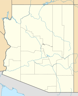
The Black Hills of Greenlee County are a mountain range in eastern Arizona. They stretch about 20 miles (32 km) long. These hills are in the northeast part of the Sonoran Desert. They are also near the White Mountains.
The Gila River flows around these mountains. The Black Hills are like a big block of land. This block makes the Gila River change direction. It flows northwest, then west, then southwest.
Further west, the Gila River enters the Gila Valley. Towns like Safford and Thatcher are found in this valley. A small part of the Black Hills is also in Graham County.
About the Black Hills
The Black Hills are located where the Arizona transition zone meets the Sonoran Desert. The Gila River and the mountain range are entirely within this transition zone. The valleys to the south are part of the Sonoran Desert.
To the south of the range, water drains into the small Whitlock Valley. The southeastern part of the Black Hills connects to the northern hills of the Peloncillo Mountains. The southwestern part of the range links to the Whitlock Mountains.
Tallest Points and Features
The highest point in the Black Hills is Guthrie Peak. It stands at 6,571 feet (2,003 meters) tall. This peak is located in the east-central part of the range.
Another important point is Guthrie Mountain. It is 4,495 feet (1,370 meters) tall. This mountain is a bit further northeast and is close to the Gila River.
 | Precious Adams |
 | Lauren Anderson |
 | Janet Collins |


