Cottonwood Butte facts for kids
Quick facts for kids Cottonwood Butte |
|
|---|---|
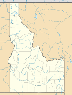
| Location | Idaho County, Idaho, U.S. |
| Nearest city | Cottonwood: 6 mi (10 km) |
| Coordinates | 46°04′32″N 116°27′10″W / 46.0755°N 116.4528°W |
| Vertical | 845 ft (258 m) |
| Top elevation | 5,730 ft (1,747 m) 5,566 ft (1,697 m) - lift |
| Base elevation | 4,721 ft (1,439 m) |
| Skiable area | 260 acres (1.1 km2) |
| Runs | 7 |
| Longest run | 0.7 mi (1.1 km) |
| Lift system | 1 T-bar 1 rope tow |
| Snowfall | 45 in (110 cm) |
| Snowmaking | no |
| Night skiing | Fridays in January |
| Website | cottonwoodbutte.org |
Cottonwood Butte is a mountain and a fun ski area in the western United States. It is located in north central Idaho, near the town of Cottonwood. The top of the mountain is 5,730 feet (1,747 m) above sea level. It is the highest point on the Camas Prairie. It stands about 2,100 feet (640 m) higher than Cottonwood.
Skiing Fun at Cottonwood Butte
The ski area at Cottonwood Butte is a great place to hit the slopes. The ski lift takes you up to about 5,566 feet (1,697 m). This gives you a vertical drop of 845 feet (258 m) to ski down. The ski runs are on the northeast side of the mountain.
There are two types of lifts to get you up the mountain. One is a T-bar, which pulls you up while you stand on your skis. The other is a rope tow, a simple rope you hold onto. On average, the mountain gets about 45 inches (110 cm) of snow each year.
The ski area first opened in 1967. But people were skiing on the mountain even before that. They used small, portable ski tows. Today, the ski area is open on weekends and holidays from 10 am to 4 pm. You can also enjoy night skiing on Friday evenings in January, from 6 pm to 10 pm.
A Look Back: The Radar Station
Cottonwood Butte was once home to an important early warning radar station. This station was part of the U.S. Air Force. It was built during the Cold War, a time when countries were very watchful of each other.
The plan for the radar station was announced in 1955. Construction began in 1956, and it started working in early 1959. The main radar tower was at the very top of the mountain. The living area for the station's workers was about a mile (1.6 km) below. This area was at 4,400 feet (1,340 m) on Radar Road. Families of the workers lived in Cottonwood, in a special housing area.
The radar system was made even better in 1962 with a new tower. However, the station became outdated quickly. It was closed down just three years later. Today, the state department of lands has a fire lookout at the summit. This lookout also holds various communication towers.


