Cuba, Kansas facts for kids
Quick facts for kids
Cuba, Kansas
|
|
|---|---|

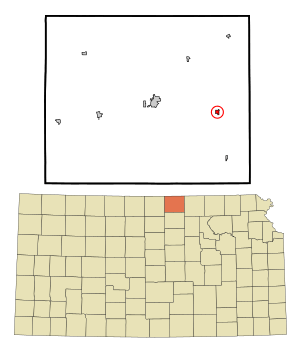
Location within Republic County and Kansas
|
|

|
|
| Country | United States |
| State | Kansas |
| County | Republic |
| Founded | 1868 |
| Incorporated | 1885 |
| Named for | Cuba |
| Area | |
| • Total | 0.29 sq mi (0.75 km2) |
| • Land | 0.29 sq mi (0.75 km2) |
| • Water | 0.00 sq mi (0.00 km2) |
| Elevation | 1,581 ft (482 m) |
| Population
(2020)
|
|
| • Total | 140 |
| • Density | 483/sq mi (187/km2) |
| Time zone | UTC-6 (CST) |
| • Summer (DST) | UTC-5 (CDT) |
| ZIP code |
66940
|
| Area code | 785 |
| FIPS code | 20-16625 |
| GNIS ID | 2393691 |
Cuba is a small city located in Republic County, Kansas, in the United States. It's a quiet place with a friendly, small-town feel. As of the 2020 census, about 140 people live there.
Contents
Discovering Cuba's Past
Cuba was started in 1868 by people from the southern United States. They were traveling west after the American Civil War. One of these early settlers had lived on the island of Cuba. This is how the city got its unique name.
Later, in the mid-1870s, many Czech immigrants from Bohemia also settled in Cuba. For a long time, most people in Cuba were of Czech and Austrian descent.
Moving the Town for the Railroad
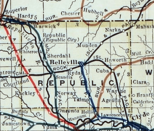
In 1884, the entire town of Cuba actually moved! This happened because a new railroad was built through the area. To be closer to the train tracks, the whole community picked up and relocated to its current spot. This was a big deal for a town back then.
Cuba in the Spotlight
Cuba, Kansas, has even been featured in national media! A photographer named Jim Richardson captured the town's special small-town charm. His photos and stories about Cuba were shown on CBS News Sunday Morning in 1983 and 2004. The town was also highlighted in the May 2004 issue of National Geographic magazine.
Where is Cuba, Kansas?
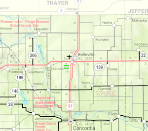
Cuba is a small city in terms of size. According to the United States Census Bureau, the city covers about 0.31 square miles (0.75 square kilometers). All of this area is land.
Who Lives in Cuba?
| Historical population | |||
|---|---|---|---|
| Census | Pop. | %± | |
| 1890 | 415 | — | |
| 1900 | 445 | 7.2% | |
| 1910 | 466 | 4.7% | |
| 1920 | 432 | −7.3% | |
| 1930 | 403 | −6.7% | |
| 1940 | 363 | −9.9% | |
| 1950 | 345 | −5.0% | |
| 1960 | 336 | −2.6% | |
| 1970 | 290 | −13.7% | |
| 1980 | 286 | −1.4% | |
| 1990 | 242 | −15.4% | |
| 2000 | 231 | −4.5% | |
| 2010 | 156 | −32.5% | |
| 2020 | 140 | −10.3% | |
| U.S. Decennial Census | |||
Population in 2020
The 2020 United States census counted 140 people living in Cuba. There were 69 households, which means 69 different homes or families. Most of the people living in Cuba are white or European American.
The average age of people in Cuba in 2020 was 59 years old. About 15% of the population was under 18 years old. Also, a large part of the population, about 37.9%, was 65 years or older.
Population in 2010
Back in 2010, the city had 156 people. There were 79 households. Most residents were White. A small number were Native American or of two or more races.
The average age in 2010 was 55.8 years. About 12.8% of residents were under 18. Many people, about 30.1%, were 65 years or older.
Learning in Cuba
The children in Cuba attend schools in the Republic County USD 109 public school district. This school district was created in 2006. It combined two older districts: Belleville USD 427 and Hillcrest USD 455.
The high school in the district is Republic County High School. Their sports teams are called the Republic County Buffaloes. Before the schools combined, the Hillcrest High School teams were known as the Hillcrest Mustangs.
Fun Events in Cuba
Czech Day Celebrations
One of the most exciting events in Cuba is the annual Czech Day. It's organized by the Cuba Booster Club. This three-day event celebrates the town's Czech heritage.
A main part of Czech Day is the "Rock-A-Thon." During this event, people continuously rock in rocking chairs for a long time! There's also an auction. The money raised from the auction helps pay for different needs in the community. Of course, there's also a delicious Czech dinner to enjoy!
See also
 In Spanish: Cuba (Kansas) para niños


