Dartmouth Range facts for kids
Quick facts for kids Dartmouth Range |
|
|---|---|

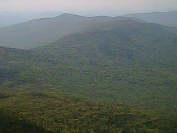
The Dartmouth Range as seen looking west from the first cap of Mount Jefferson, Coos County, New Hampshire
|
|
| Highest point | |
| Elevation | 1,136 m (3,727 ft) |
| Geography | |
| Location | Coos County, New Hampshire, US |
The Dartmouth Range is a group of mountains located in the beautiful White Mountains of New Hampshire, United States. This range is found in Coos County, specifically within the areas of Low and Burbank's Grant and the town of Carroll.
Exploring the Dartmouth Range
This mountain range is a long, tree-covered ridge. It stretches from Jefferson Notch, which is just west of Mount Jefferson in the Presidential Range, all the way to Mount Deception in Carroll. The range offers views of the scenic area of Bretton Woods and the famous Mount Washington Hotel. Currently, there are no official hiking trails that go across the entire range.
Peaks of the Range
The Dartmouth Range has several important peaks, or summits. These are the highest points in the range. From west to east, the named peaks are:
- Mount Deception: This peak is about 1,116 meters (3,661 feet) tall.
- Mount Dartmouth: This is the highest point in the entire range, reaching about 1,136 meters (3,727 feet) high.
- Millen Hill: This peak stands at about 1,028 meters (3,373 feet).
There is also another peak called Mount Mitten. It is about 932 meters (3,058 feet) tall and is located a bit off the main ridge, to the north of Mount Dartmouth.
Water Flow and Rivers
The water that flows from the Dartmouth Range eventually makes its way to larger rivers.
- North side: Water flowing north from the top of the range goes into the Israel River. It gets there by way of the South Branch of the Israel River and Mill Brook.
- South side: Water flowing south from the ridge goes into the Ammonoosuc River. It travels through Jefferson Brook and Halfway Brook to reach it.
- West end: Water from the western part of the range flows through Deception Brook, also joining the Ammonoosuc River.
Both the Ammonoosuc and Israel rivers flow west. They eventually join the large Connecticut River. The Connecticut River then carries all this water south, all the way to Long Island Sound on the Atlantic coast.
 | Janet Taylor Pickett |
 | Synthia Saint James |
 | Howardena Pindell |
 | Faith Ringgold |

