
Dolph, Oregon facts for kids
Quick facts for kids
Dolph
|
|
|---|---|
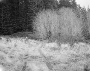
Former Dolph townsite
|
|

Dolph
Location in Oregon

Dolph
Location in the United States
|
|
| Country | United States |
| State | Oregon |
| County | Tillamook |
| Elevation | 436 ft (133 m) |
| Time zone | UTC-8 (Pacific (PST)) |
| • Summer (DST) | UTC-7 (PDT) |
| GNIS feature ID | 1158211 |
Dolph (also known as Dolph Junction) is a small, unincorporated community in Tillamook County, Oregon. It is located near the border with Yamhill County. You can find it where Oregon Route 22 and Oregon Route 130 meet. This area is nestled in the Siuslaw National Forest within the Northern Oregon Coast Range.
Contents
The Story of Dolph
Dolph was named after Joseph N. Dolph, who was a U.S. Senator. The original town started as a rest stop for travelers. It was also a place where people paid a fee to use a special road. This road, called a toll road, went from the Willamette Valley to the Oregon Coast.
A Busy Stop on the Road
The Dolph Toll Road was built between 1878 and 1882. It helped people travel by stagecoach between Grande Ronde and Woods. In 1886, a post office opened in Dolph. A school was also started there in 1889.
The community grew into a busy place. It had a hotel where travelers could stay. There was also a store to buy supplies. Other businesses included a sawmill for cutting wood and a factory for making barrels. A livery stable provided horses and carriages. A blacksmith shop fixed metal tools and horse shoes. There was even a campground for visitors.
The Sulphur Springs Resort
Near the current location of Dolph, there was another important spot. This was the blacksmith shop of George Baxter. He also took care of the road that followed the Little Nestucca River. Mr. Baxter owned a special place called a sulphur springs resort. People would visit this resort to relax and enjoy the natural mineral waters.
Why Dolph Changed
In 1916 and 1917, a new public road was built. This new road offered a free way to get to the coast. Because of this, there was no longer a need for the toll road. The town of Dolph started to lose its purpose.
The school moved to a new location near Baxter's hot springs resort. The post office in Dolph closed in 1921. The Dolph school eventually closed in 1930. Its students then joined the Hebo School District. By the 1970s, almost nothing was left of the old town site. Only an apple orchard and a small cemetery remained.
Today, there isn't much left at the new town site either. Even the hot springs resort was still there in 1940. Photos from the mid-1960s show a store and hotel building at the highway junction. However, these buildings have since been taken down.
Dolph in Polk County
There was also another historic place named Dolph in Polk County. This was a train station on the Southern Pacific Railroad line. It was sometimes called "Brown."
