Goat Range (Kananaskis) facts for kids
Quick facts for kids Goat Range |
|
|---|---|

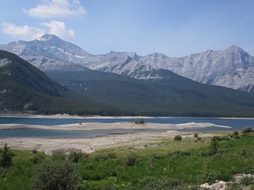
Old Goat Mountain from the Smith-Dorrien Trail across the Spray Lakes Reservoir
|
|
| Highest point | |
| Peak | Old Goat Mountain |
| Elevation | 3,109 m (10,200 ft) |
| Dimensions | |
| Area | 115 km2 (44 sq mi) |
| Geography | |
| Country | Canada |
| Provinces | Alberta |
| Parent range | Canadian Rockies |
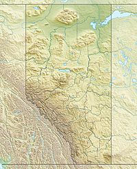
The Goat Range is a beautiful group of mountains in the Canadian Rockies. You can find it in southwestern Alberta, Canada. It's part of a bigger mountain system called the Front Ranges.
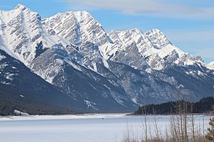
This mountain range is located right on the edge of Kananaskis Country. It sits between Spray Valley Provincial Park and Banff National Park. To its east, the Spray Lakes Reservoir separates it from the Kananaskis Range. To the northeast, Goat Creek separates it from Mount Rundle. And to the southwest, the Spray River separates it from the Sundance Range. The Goat Range covers about 115 square kilometers. It stretches for about 25 kilometers from north to south.
Exploring the Goat Range
The highest point in the Goat Range is Old Goat Mountain. This peak stands tall at 3,109 meters (about 10,197 feet). It is located near the southern part of the range.
Old Goat Glacier
On Old Goat Mountain, there is a small glacier. It's called the Old Goat Glacier. This glacier sits in a bowl-shaped valley. This valley is known as a cirque. It's found below the steep northeast side of the mountain. The glacier is at an altitude of about 2,300 to 2,500 meters.
Hiking and Trails
If you want to see the glacier, there's a trail that leads part of the way. It starts from the Spray Lakes West Campground. This trail is about 4 kilometers long. It climbs up about 200 meters. From the end of this trail, you can reach the cirque where the glacier is. However, there isn't a clear path for the last part. The Goat Range does not have many other hiking trails.
Other Peaks
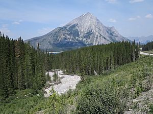
Besides Old Goat Mountain, there is one other named peak. It is called Mount Nestor. This mountain is 2,975 meters (about 9,760 feet) high. Mount Nestor marks the very southern end of the Goat Range.
 | Misty Copeland |
 | Raven Wilkinson |
 | Debra Austin |
 | Aesha Ash |


