Hawthornthwaite Fell facts for kids
Quick facts for kids Hawthornthwaite Fell |
|
|---|---|
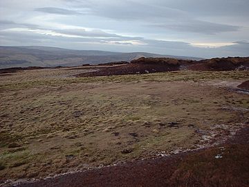
Hawthornthwaite Fell with White Hill and Whin Fell in the distance
|
|
| Highest point | |
| Elevation | 479 m (1,572 ft) |
| Prominence | c. 57 m |
| Geography | |
| Location | Forest of Bowland, England |
| OS grid | SD578514 |
| Topo map | OS Landranger 102 |
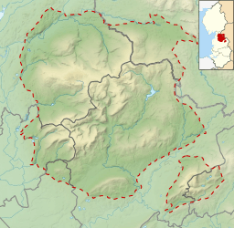
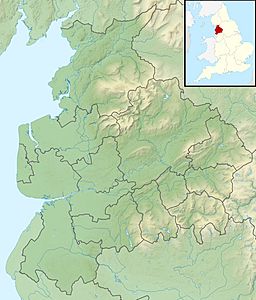
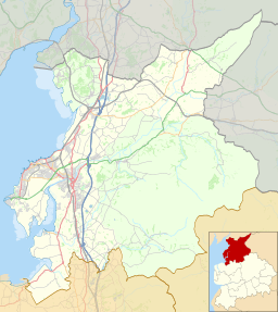
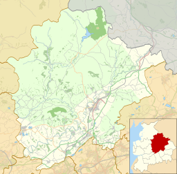
Hawthornthwaite Fell is a notable hill located in the Forest of Bowland in Lancashire, England. It is one of the larger hills in this area. The fell is found on the south-western side of the range. It sits close to other well-known spots like Bleasdale and Fair Snape Fell.
Contents
About Hawthornthwaite Fell
Hawthornthwaite Fell stands at 479 meters (about 1,572 feet) tall. It is not the highest peak in the Forest of Bowland, but it is still quite significant. The hill is known for its natural beauty and quiet surroundings.
Getting to the Top
If you want to reach the summit of Hawthornthwaite Fell, the only path available comes from the south. This means you would need to walk over other hills to get there. Much of this hill is part of the land owned by the Duke of Westminster.
What the Summit is Like
The very top of Hawthornthwaite Fell can be quite wet and muddy. This is often called "boggy" ground. To the north, the summit is surrounded by steep slopes covered in heather. Heather is a type of plant with small purple flowers that grows well in moorland areas.
Wildlife and Nature
The area around Hawthornthwaite Fell is home to various types of wildlife. You might see grouse here, which are birds often raised for sport. Another interesting bird to look out for is the hen harrier. These birds of prey are known for hunting over open moorland.
The Trig Point
At the summit of many hills, you can find a "trig point." This is a special pillar used by mapmakers to help survey the land. On Hawthornthwaite Fell, the trig point is no longer standing upright. It lies on its side, pointing towards the west. It is a reminder of how the land was once mapped.
Historical Boundary
Hawthornthwaite Fell also has a historical connection. It marks the very western edge of what was once the West Riding of the Historic County of York. This shows how important natural features like hills were in defining old county borders.
 | Laphonza Butler |
 | Daisy Bates |
 | Elizabeth Piper Ensley |


