
High Island (Michigan) facts for kids
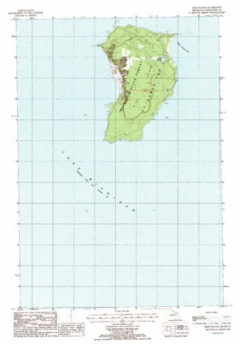
USGS Topographic Map sheet 1:24,000
|
|

High Island
Location in Michigan
|
|
| Geography | |
|---|---|
| Location | Lake Michigan |
| Coordinates | 45°43′30″N 85°41′00″W / 45.72500°N 85.68333°W |
| Area | 5.46 sq mi (14.1 km2) |
| Highest elevation | 780 ft (238 m) |
| Administration | |
| State | Michigan |
| County | Charlevoix County |
| Township | St. James Township |
| Demographics | |
| Population | Uninhabited |
High Island is an island located in Lake Michigan. It is part of a group of islands called the Beaver Island archipelago. This island is about 3,495 acres (or 14.14 square kilometers) in size. The U.S. state of Michigan owns High Island. The Michigan Department of Natural Resources manages it as part of the Beaver Islands State Wildlife Research Area.
High Island gets its name from a very tall, perched sand dune on its western side. This sand dune was formed by sand blown by the lake's strong winds. It stands 780 feet (238 meters) above sea level. This means it is 199 feet (61 meters) higher than the water level of Lake Michigan.
Today, no one lives on High Island. It is located about four miles (6 kilometers) west of the much larger Beaver Island. It is also less than two miles from Trout Island.
Contents
Island History
High Island was once home to a special farm and timber operation. From 1912 to 1927, a religious group called the House of David ran this operation. They were based in Benton Harbor, Michigan. The farm on High Island grew many potatoes and other root vegetables. These crops were very important to the House of David members, who were vegetarians.
Before, during, and after the House of David lived there, several families of Ottawa (Odawa) Native Americans also called High Island home. These families were fishermen. The island even had a public school until 1936. However, the amount of fish in the Beaver Island area started to drop a lot in the 1930s. After a big storm in 1940, the remaining Odawa families moved to Beaver Island.
Today, there are a couple of old, unused cabins on the island. These cabins belong to the Michigan Department of Natural Resources (DNR). They are in poor condition, with leaky roofs and broken windows. Years ago, research teams used these cabins. You can still find some old items there, like propane lights and cooking tools.
Wildlife on High Island
High Island is an important place for many animals.
Endangered Birds
The Great Sand Bay, on the western side of High Island, is one of the last good places for the endangered piping plover to build its nests. These small birds need sandy beaches to lay their eggs.
Nesting Terns
Many terns also come to High Island to breed. Terns are seabirds similar to gulls. They often nest on a sandspit, which is a narrow piece of land extending into the water, on the northeast corner of the island.
Island Folklore
High Island is part of a local legend about a hidden treasure. Some people believe that the royal treasury of the Kingdom of Beaver Island was hidden here. This kingdom was ruled by James Jesse Strang. He was shot in June 1856. After Strang was badly hurt, he was taken to Wisconsin for medical care. People think that one of his followers hid the treasure around that time. Strang later died from his wounds.
The story says the treasure was buried 30 paces from a "large tree." This tree was easy to spot in 1856 because it overlooked the island's northeast harbor. However, High Island was logged shortly after 1856. This means many trees were cut down, removing the important landmark needed to find the treasure. As of 1987, the treasure had not been found.
More Information
If you want to learn more about the House of David's time on High Island, you can read Ramon Nelson's book. It is called "Island Life, Island Toil: The House of David on High Island."
