Hope Valley, Derbyshire facts for kids

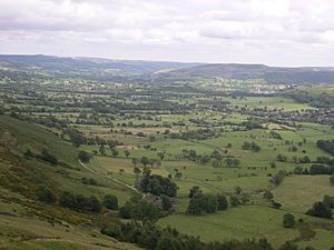
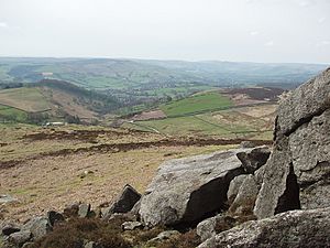
The Hope Valley is a beautiful countryside area in Derbyshire, England. It's found in the Peak District, which is a national park. The main village in this area is called Hope. When people talk about the Hope Valley, they often mean the village of Hope and all the smaller villages around it.
Rivers and Scenery in Hope Valley

Even though it's called the Hope Valley, several rivers flow through it! The valley starts near Mam Tor in Castleton. From there, a river called the Peakshole Water flows to Hope. It then joins the River Noe, which comes from Edale. The River Noe then flows into the River Derwent near Bamford. The Derwent has traveled about ten miles from Bleaklow.
So, technically, the valley becomes the Derwent Valley further along. But everyone still calls the whole area the "Hope Valley." This includes places like Hathersage and Grindleford. Another stream, the Burbage Brook, flows through Padley Gorge and into the River Derwent.
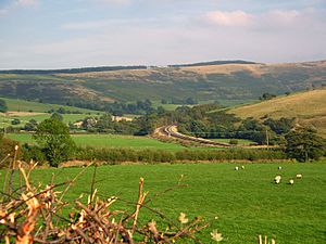
The Hope Valley is a very popular place for visitors. Many people come to enjoy the outdoors. A railway line, the Hope Valley Line, runs through the valley. It connects Sheffield to Manchester, making it easy for tourists to visit.
In the middle of the valley, there's a large cement factory. It's one of the biggest in the UK. Some people notice it because it's a big factory in a national park. However, it's also important because it provides many jobs for local people.
The only secondary school in the area is Hope Valley College. There are also several primary schools, like Castleton Church of England Primary School. This school and the surrounding valley were even shown in a TV advertisement!
A Glimpse into Hope Valley's Past
The village of Hope has a very long and interesting history. It was mentioned in a famous old book called the Domesday Book in 1086. At that time, Hope was the only place in north Derbyshire with a priest and a church. This shows how important it was! St. Peter's Church, which you can still see today, was built around the 13th century.
Hope was once part of a huge area called the Royal Hunting Forest of north Derbyshire. This parish was one of the largest in the entire country. Even before that, the Romans were here! You can find traces of a Roman fort at Brough, just east of Hope. The Romans called it Navio. Later, it was called Brough, which means "fort" in Old English.
Many ancient items found at the fort are now in the Buxton Museum. Historians believe the fort was built to protect the Romans' lead mining in the Peak District. Lead was a very important metal back then.
The village of Hope is located on the A6187 road, which goes from Sheffield to Castleton. Another smaller road, the B6049, follows an old trading route called the Portway. This route was used by "Jaggers," who were men who used packhorses to carry salt and other goods from Cheshire. You can still see names like Saltergate Lane and Jaggers Lane today, which remind us of this history.
Villages of the Hope Valley Post Town
The Hope Valley area is also a "post town" for mail delivery. This means it includes several villages that share the same postal codes (S32 and S33). These villages are:
 | James Van Der Zee |
 | Alma Thomas |
 | Ellis Wilson |
 | Margaret Taylor-Burroughs |


