
Image: Africa location map

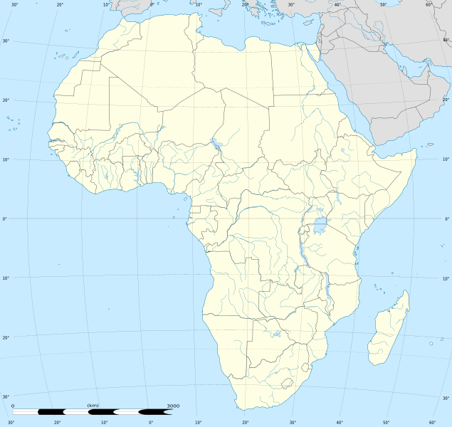
Description: Blank administrative map of political Africa as in 2011-07, for geo-location purposes. On English Wikipedia, in "Template:Location_map_Africa" to set marker along curved latitude/longitude lines.
Title: Africa location map
Credit: Based upon File:Africa_map_blank.svg created by myself Sources of data: VMap-0 Sudan/South Sudan 2011-07 border: Map Library (data of 2011-07-09) NGDC World Data Bank II
Author: Eric Gaba (Sting - fr:Sting)
Permission: Attribution and Share-Alike required Any use of this map can be made as long as you credit me (Eric Gaba – Wikimedia Commons user: Sting) as the author and distribute the copies and derivative works under the same license(s) that the one(s) stated below. A message with a reply address would also be greatly appreciated.
Usage Terms: Creative Commons Attribution-Share Alike 3.0
License: CC BY-SA 3.0
License Link: https://creativecommons.org/licenses/by-sa/3.0
Attribution Required?: Yes
Image usage
The following 33 pages link to this image:
- Aliwal North
- Altos de Nsork National Park
- Barberton, South Africa
- Bethulie
- Bunce Island
- Cape Town
- Ciudad de la Paz
- East London, South Africa
- Ficksburg
- Franceville
- Gqeberha
- Hawassa
- Heidelberg, Gauteng
- Irene, Gauteng
- Johannesburg
- Kano
- Kimberley, Northern Cape
- Klerksdorp
- Kroonstad
- Krugersdorp
- Lalibela
- Mafikeng
- Mamelodi
- Mbombela
- Mekelle
- Middelburg, Mpumalanga
- Modimolle
- Nelspruit
- Pico Basilé National Park
- Potchefstroom
- Pretoria
- Tzaneen
- Vereeniging
