
Image: Map of Sullivan County Indiana Townships

Size of this PNG preview of this SVG file: 512 × 512 pixels. Other resolution: 240 × 240 pixels.
Original image (SVG file, nominally 512 × 512 pixels, file size: 53 KB)
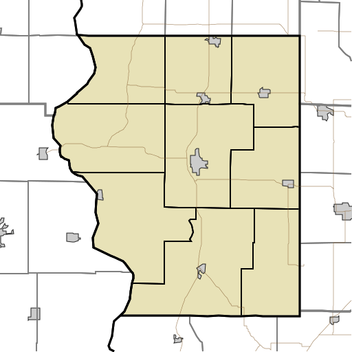
Description: This is a map of the townships in Sullivan County, Indiana, USA.
Title: Map of Sullivan County Indiana Townships
Credit: Map_highlighting_Cass_Township,_Sullivan_County,_Indiana.svg
Author: Map_highlighting_Cass_Township,_Sullivan_County,_Indiana.svg: Omnedon derivative work: Sweet kate (talk)
Usage Terms: Public domain
License: Public domain
Attribution Required?: No
Image usage
The following 28 pages link to this image:
- Baker, Indiana
- Baldridge, Indiana
- Benefiel Corner, Indiana
- Bucktown, Indiana
- Caledonia, Indiana
- Campbell Corner, Indiana
- Cass, Indiana
- Curryville, Sullivan County, Indiana
- East Shelburn, Indiana
- Fairbanks, Indiana
- Farnsworth, Indiana
- Gambill, Indiana
- Glendora, Indiana
- Graysville, Indiana
- Greenville, Sullivan County, Indiana
- Hawton, Indiana
- Jackson Hill, Indiana
- Jericho, Indiana
- Massacre, Indiana
- New Lebanon, Indiana
- Paxton, Indiana
- Pleasantville, Indiana
- Scotchtown, Indiana
- Scott City, Indiana
- Shiloh, Indiana
- Standard, Indiana
- Stringtown, Sullivan County, Indiana
- Wilfred, Indiana

All content from Kiddle encyclopedia articles (including the article images and facts) can be freely used under Attribution-ShareAlike license, unless stated otherwise.