
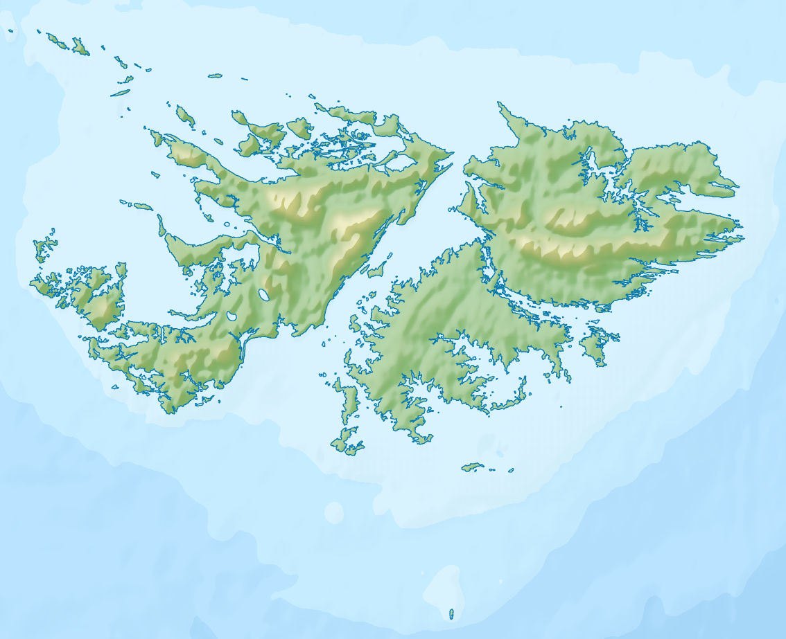
Image: Relief Map of Falkland Islands
Size of this preview: 737 × 600 pixels. Other resolutions: 295 × 240 pixels | 1,134 × 923 pixels.
Original image (1,134 × 923 pixels, file size: 528 KB, MIME type: image/png)
Description: Relief Map of Falkland Islands. Geographic limits of the map: N: 50.9° S S: 53.0° S W: 61.5° W E: 57.5° W
Title: Relief Map of Falkland Islands
Credit: ETOPO1 for relief and bathymetry Own work using [[File:|32x20px]] This map was created with GMT.
Author: Nzeemin
Usage Terms: Creative Commons Attribution-Share Alike 3.0
License: CC BY-SA 3.0
License Link: https://creativecommons.org/licenses/by-sa/3.0
Attribution Required?: Yes
Image usage
The following 26 pages link to this image:
- Byron Heights
- Christ Church Cathedral (Falkland Islands)
- Circum Peak
- Lake Sulivan
- Mount Adam (Falkland Islands)
- Mount Alice (Falkland Islands)
- Mount Challenger
- Mount Edgeworth
- Mount Emery
- Mount Kent
- Mount Longdon
- Mount Low
- Mount Maria
- Mount Robinson
- Mount Simon
- Mount Sulivan
- Mount Usborne
- Mount Weddell
- Mount Wickham
- Mount Young (Falklands)
- Murrell River
- New Haven, Falkland Islands
- Pleasant Peak
- San Carlos River (Falkland Islands)
- Sapper Hill
- Smoko Mount

All content from Kiddle encyclopedia articles (including the article images and facts) can be freely used under Attribution-ShareAlike license, unless stated otherwise.