
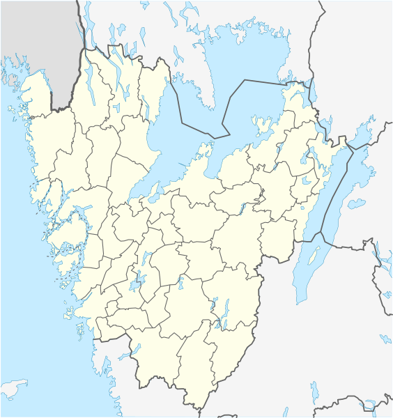
Image: Sweden Västra Götaland location map

Size of this PNG preview of this SVG file: 564 × 600 pixels. Other resolution: 226 × 240 pixels.
Original image (SVG file, nominally 940 × 1,000 pixels, file size: 255 KB)
Description: Location map of Västra Götaland in Sweden Equirectangular projection, N/S stretching 190 %. Geographic limits of the map: N: 59.50° N S: 57.10° N W: 10.90° E E: 15.20° E
Title: Sweden Västra Götaland location map
Credit: Own work
Author: Erik Frohne
Usage Terms: Creative Commons Attribution 3.0
License: CC BY 3.0
License Link: http://creativecommons.org/licenses/by/3.0
Attribution Required?: Yes
Image usage
The following 67 pages link to this image:
- Alafors
- Blikstorp
- Bohus-Björkö
- Dalsjöfors
- Falköping
- Fjällbacka
- Floby
- Fristad
- Främmestad
- Grebbestad
- Grimsås
- Grästorp
- Gudhem
- Gullspång
- Göteborg City Airport
- Götene
- Henån
- Hillared
- Hyssna
- Härryda
- Jonsered
- Kareby
- Kinnarp
- Kode
- Kättilstorp
- Landvetter
- Lidköping
- Lindome
- Ljungskile
- Länghem
- Mariestad
- Nolvik
- Nordkroken
- Nossebro
- Nödinge-Nol
- Odensberg
- Olsfors
- Otterbäcken
- Sandared
- Sexdrega
- Sjötorp
- Skara
- Skepplanda
- Skultorp
- Skärhamn
- Stenstorp
- Surte
- Sätila
- Säve Airport
- Tahult
- Tanumshede
- Tibro
- Tidaholm
- Tidan
- Torbjörntorp
- Töreboda
- Ulvåker
- Vargön
- Vartofta
- Viskafors
- Vårgårda
- Åsarp
- Östra Frölunda
- Överlida
- Öxabäck
- Öxeryd
- Template:Location map Sweden Västra Götaland

All content from Kiddle encyclopedia articles (including the article images and facts) can be freely used under Attribution-ShareAlike license, unless stated otherwise.