Jacques-Nicolas Bellin facts for kids
Jacques Nicolas Bellin (born 1703 – died March 21, 1772) was a famous French mapmaker. He specialized in creating maps of oceans and coastlines. He was also a member of a smart group of French thinkers called the philosophes.
Bellin was born in Paris, France. He worked as the main mapmaker for the French Navy. He was also part of important scientific groups like the Académie de Marine and the Royal Society in London. Over 50 years, he made many maps that were very important for the French Navy. His maps of Canada and French lands in North America (like New France, Acadia, and Louisiana) are still very valuable today. He passed away in Versailles.
Contents
Becoming a Top Mapmaker
In 1721, when Bellin was just 18 years old, he became the chief mapmaker for the French Navy. By August 1741, he was named the first Ingénieur de la Marine. This meant he was the official map expert for the French Hydrographical Office. He was also given the title of Official Hydrographer to the French King.
Amazing Maps and Atlases
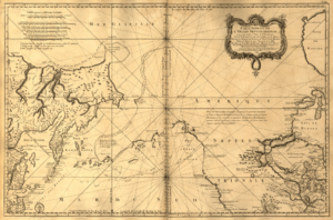
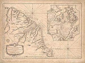
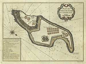
During Bellin's time, his office published a huge number of maps and charts. These included large sea-charts of France, known as the Neptune Francois. He also created several world sea-atlases. Two famous ones were the Atlas Maritime and the Hydrographie Francaise.
These maps became very well-known and respected across Europe. They were reprinted many times throughout the 1700s and even into the next century. Bellin also made smaller maps, like the 1764 Petit Atlas Maritime. This set had five volumes and contained 580 detailed charts.
Bellin was known for his high quality of work and accuracy. Because of his efforts, France became a leader in mapmaking and geography in Europe. Many other mapmakers in Europe copied his maps.
Part of a Smart Group: The Encyclopédistes
Bellin was one of the Encyclopédistes. This was a group of smart people in 18th-century France. They worked together to create a huge 35-volume book called the Encyclopédie. This important book was put together by Denis Diderot and Jean le Rond d'Alembert. Bellin himself wrote 994 articles for it!
The Encyclopédistes were part of a larger group called the philosophes. This group included some of the greatest thinkers of the Age of Enlightenment. Famous members included Montesquieu, Voltaire, Rousseau, and Baron d'Holbach.
Bellin's Published Works
Here are some of the books and maps Bellin published during his life:
- Hydrographie française (1753) - This was about French hydrography, which is the study of waters for navigation.
- Carte de l'Amérique septentrionale (Map of Northern America) (1755) - A map of North America.
- Le petit Atlas François. Recueil de Cartes et Plans des quatre parties du Monde (1758) - A small French atlas with maps and plans of the four parts of the world.
- Petit Atlas Maritime (1764) - A small maritime (sea) atlas.
- Nouvelle méthode pour apprendre la géographie (1769) - A new way to learn geography.
- Description géographique du golfe de Venise et de la Morée (1771) - A geographical description of the Gulf of Venice and Morea (a region in Greece).
See also
 | John T. Biggers |
 | Thomas Blackshear |
 | Mark Bradford |
 | Beverly Buchanan |


