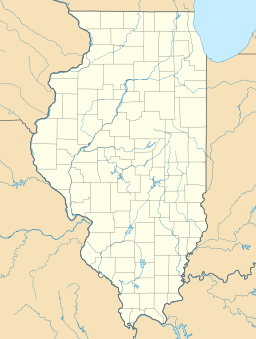
Lake Lou Yaeger facts for kids
Quick facts for kids Lake Lou Yaeger |
|
|---|---|
| Location | Montgomery County, Illinois |
| Coordinates | 39°13′49″N 89°36′15″W / 39.2303°N 89.6041°W |
| Type | reservoir |
| Primary inflows | Shoal Creek |
| Primary outflows | Shoal Creek |
| Basin countries | United States |
| Max. length | 8 mi (13 km) |
| Max. width | 0.5 mi (0.8 km) |
| Surface area | 1,300-acre (5.2 km²) |
Lake Lou Yaeger is a large, man-made lake in Montgomery County, Illinois. It covers about 1,300 acres (5.2 square kilometers). This lake is a reservoir, which means it was created by building a dam across a river. In this case, the dam was built on the West Fork of Shoal Creek.
The lake was built for a few important reasons. It helps with flood control, meaning it can hold back water to prevent flooding. It's also a popular spot for recreation and sport fishing. The lake is about 8 miles (13 kilometers) long and 0.5 miles (0.8 kilometers) wide. The closest town is Litchfield, Illinois, which is south of Springfield, Illinois and north of St. Louis, Missouri.
Contents
About Lake Lou Yaeger
Lake Lou Yaeger is a great place for outdoor fun. It's easy to get to, especially if you're traveling on Interstate 55. This highway passes very close to the lake, just north of Litchfield.
Fishing and Wildlife
If you love to fish, Lake Lou Yaeger is a good choice. The lake is carefully managed to support many kinds of fish. You can find bass, bluegill, catfish, and crappie here.
The healthy fish population also attracts other animals. Since 2005, bald eagles have even started to build their nests at the lake. It's a special place where you can see these amazing birds.
Boating Fun
Boating on Lake Lou Yaeger is very popular. One of the best things about this lake is that there are no speed or power limits for boats. This is different from many other lakes in central and southern Illinois. It means boaters have more freedom to enjoy the water.
Shoal Creek Conservation Area
The city of Litchfield takes care of the biggest park at the lake. It's called the Shoal Creek Conservation Area. This park is quite large, covering about 266 acres (1.1 square kilometers).
Nature Trails
The Shoal Creek Conservation Area is a beautiful place to explore nature. It has areas of oak-hickory woodland, which are forests with oak and hickory trees. You can also find patches of prairie, which are open grasslands. These prairie areas are sometimes called "barrens" locally.
The park offers trails for visitors to enjoy. There are about 1.15 miles (1.8 kilometers) of trails. You can use these trails for walking, biking, or even horseback riding. It's a perfect spot to get outside and enjoy the natural beauty of the area.
 | Toni Morrison |
 | Barack Obama |
 | Martin Luther King Jr. |
 | Ralph Bunche |


