Marshallton, Delaware facts for kids
Quick facts for kids
Marshallton, Delaware
|
|
|---|---|

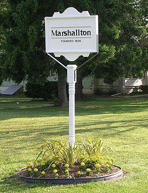
Welcome sign on Old Capitol Trail
|
|
| Country | United States |
| State | Delaware |
| County | New Castle |
| Elevation | 89 ft (27 m) |
| Time zone | UTC-5 (Eastern (EST)) |
| • Summer (DST) | UTC-4 (EDT) |
| ZIP code |
19808
|
| Area code(s) | 302 |
| GNIS feature ID | 214274 |
Marshallton is a small community in New Castle County, Delaware, United States. It is an unincorporated community, which means it doesn't have its own local government like a city or town. The community was started in 1836 and is named after John Marshall, who owned a mill there.
Contents
History
How Marshallton Got Its Name
Marshallton was first called Hersey Bridge. This name came from a gristmill built by Solomon Hersey in 1765. A gristmill is a place where grain is ground into flour.
In 1836, the community's name was changed to Marshallton. This new name honored John Marshall, who built a rolling mill along the creek. A rolling mill is a type of factory that shapes metal.
Revolutionary War Connection
An important event happened here during the American Revolutionary War. On August 30, 1777, George Washington, who was leading the American army, told his soldiers to move towards Red Clay Creek.
Washington's troops quickly prepared for battle. They dug trenches and built small forts called redoubts. Cannons were placed close together on a hill. Their camp covered a triangle-shaped area, connecting the nearby places of Newport, Marshallton, and Stanton.
Historic Places in Marshallton
Several buildings and areas in Marshallton are very old and important. They are listed on the National Register of Historic Places. This means they are recognized for their historical value.
These places include:
- Greenbank Historic Area
- Hickman Blacksmith Shop and House
- William Julius "Judy" Johnson House
- Marshallton United Methodist Church
- Springer-Cranston House
Geography
Where is Marshallton Located?
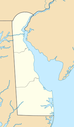
Marshallton is a residential area located about 5 miles (8 kilometers) west of Wilmington. It sits along Delaware Route 2.
The community is also found along the Red Clay Creek. Its exact location is 39°43′32″N 75°39′15″W / 39.72556°N 75.65417°W. To the southwest of Marshallton, you can find Delaware Park, which is a horse racing track.
See also
 In Spanish: Marshallton (Delaware) para niños
 | Delilah Pierce |
 | Gordon Parks |
 | Augusta Savage |
 | Charles Ethan Porter |


