Mornington, Tasmania facts for kids
Quick facts for kids MorningtonHobart, Tasmania |
|||||||||||||||
|---|---|---|---|---|---|---|---|---|---|---|---|---|---|---|---|
| Population | 2,265 (2016 census) | ||||||||||||||
| Postcode(s) | 7018 | ||||||||||||||
| Location | 4 km (2 mi) NE of Rosny Park | ||||||||||||||
| LGA(s) | Clarence | ||||||||||||||
| Region | Hobart | ||||||||||||||
| State electorate(s) | Franklin | ||||||||||||||
| Federal Division(s) | Franklin | ||||||||||||||
|
|||||||||||||||
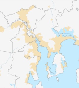
Mornington is a suburb in Tasmania, Australia. It is mostly a place where people live. Mornington is part of the Clarence area, which is near Hobart.
It is about 4 kilometers (about 2.5 miles) north-east of Rosny Park. In 2016, about 2,265 people lived in Mornington. It is also close to Warrane and Cambridge. The Tasman Highway runs right next to it.
Mornington has many homes, but it also has an industrial area. This is where businesses and factories are located. For shopping and other services, people usually go to nearby Rosny Park.
Some important places in Mornington include the Clarence Council Depot and the Main Roads and Transport Depot. There is also a place for vehicle inspections and a Fire and Ambulance Service. A big school called MacKillop College is also in Mornington.
Mornington's History
Mornington became an official locality in 1970. This means it was formally recognized as a specific area.
Getting Around Mornington
Two main roads help people travel through Mornington. The Tasman Highway (also known as Route A3) goes through the northern part of the suburb. The South Arm Highway (Route B33) runs from the north-west to the south-east. These roads connect Mornington to other parts of Tasmania.
 | Aaron Henry |
 | T. R. M. Howard |
 | Jesse Jackson |


