Mount Rumney, Tasmania facts for kids
Quick facts for kids Mount RumneyHobart, Tasmania |
|||||||||||||||
|---|---|---|---|---|---|---|---|---|---|---|---|---|---|---|---|
| Population | 267 (2016 census) | ||||||||||||||
| Postcode(s) | 7170 | ||||||||||||||
| Location | 7 km (4 mi) E of Rosny Park | ||||||||||||||
| LGA(s) | City of Clarence | ||||||||||||||
| Region | Hobart | ||||||||||||||
| State electorate(s) | Franklin | ||||||||||||||
| Federal Division(s) | Franklin | ||||||||||||||
|
|||||||||||||||
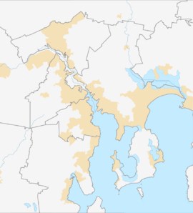
Mount Rumney is a small, quiet area in Tasmania, Australia. It's like a peaceful neighborhood that's a mix of country and town life. This area is part of the City of Clarence and the wider Hobart area. It sits about 7 kilometers (about 4.3 miles) east of a town called Rosny Park.
In 2016, a count of people showed that 267 people lived in Mount Rumney. This suburb is built on the slopes of a mountain also called Mount Rumney, which is part of the Meehan Range.
Exploring Mount Rumney's Location
Mount Rumney is a suburb of Hobart, the capital city of Tasmania. It's known for its mix of open spaces and homes. The main feature of the area is the mountain itself, which gives the suburb its name.
The Mountain: Mount Rumney
The mountain, Mount Rumney, is completely inside the suburb's boundaries. It's part of a larger group of hills called the Meehan Range. This range helps shape the landscape of the area.
A Glimpse into Mount Rumney's Past
The area officially became known as a "locality" or suburb in 1999. This means it was formally recognized as a specific place on maps and for local government purposes.
 | James Van Der Zee |
 | Alma Thomas |
 | Ellis Wilson |
 | Margaret Taylor-Burroughs |


