Moshassuck River facts for kids
Quick facts for kids Moshassuck River |
|
|---|---|

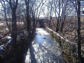
The Moshassuck River at the North Burial Ground in Providence. View is downstream as the river is about to head into a concrete channel underneath Interstate 95.
|
|
| Country | United States |
| State | Rhode Island |
| County | Providence County |
| Physical characteristics | |
| Main source | Lime Rock Preserve, Lincoln, Rhode Island |
| River mouth | Providence River, Providence, Rhode Island 41°49′36″N 71°24′36″W / 41.8267°N 71.4100°W |
| Length | 8.9 mi (14.3 km) |
The Moshassuck River is a river in the U.S. state of Rhode Island. It flows about 8.9 miles (14.3 km) from the town of Lincoln to the city of Providence. There are six dams along the river's length.
River History
In 1636, Roger Williams founded Rhode Island. He settled near the Moshassuck River. Local Narragansett Indians told him the river's name. "Moshassuck" means "river where moose watered."
The River and Industry
The river became very important during the Industrial Revolution. This was a time when many factories were built. The Moshassuck River powered many mills. It also connected to the Blackstone River. This made it part of the Blackstone Canal, which helped transport goods.
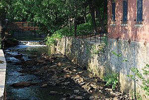
The southern part of the Moshassuck River was home to the first mills. These were built in the 1600s and 1700s. Later, in the 1800s, metal factories and textile (cloth-making) factories appeared. Today, some old industrial buildings are still there. For example, the Fletcher Building is now used for shops and offices. Further north, you can still see parts of the Allen Printworks. This was a textile printing factory from the 1800s. In Pawtucket, you can find structures from the Hope Webbing Company and the Lorraine Mills.
Cleaning Up the River
By the mid-1800s, the Moshassuck River became very polluted. Factories dumped both industrial waste and human waste into the water. This pollution caused serious health problems. For example, cholera outbreaks in 1849 and 1854 were linked to the river's poor state. The first effort to clean the river began in 1897. Workers built sewers to stop waste from going into the water.
During the 1900s, the river was used less for industry and transportation. When Interstate 95 was built in the 1960s, a section of the river was covered. About three-quarters of a mile (1.2 km) of the river now flows under the road in a narrow concrete channel.
The water quality has improved a lot since factories closed. However, in 2005, the Moshassuck River still had high levels of fecal coliform. This is a type of bacteria that shows pollution. It had the second highest level among monitored rivers in Rhode Island.
River's Path
The Moshassuck River starts from a pond in the Lime Rock Preserve. This preserve is in Lincoln, Rhode Island. The pond is near the intersection of Wilbur Road and Route 146.
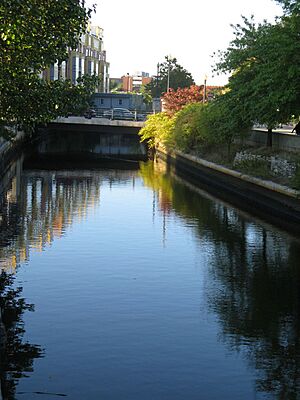
From there, the river flows southeast. It goes through Lincoln and Pawtucket. Then it enters Providence, just east of Interstate 95. The river continues south. It joins the Woonasquatucket River in Waterplace Park. Together, they form the Providence River.
River Tributaries
The West River is the only named stream that flows into the Moshassuck River. However, many other smaller, unnamed streams also feed the river.
 | Charles R. Drew |
 | Benjamin Banneker |
 | Jane C. Wright |
 | Roger Arliner Young |


