
Mount Forbes facts for kids
Quick facts for kids Mount Forbes |
|
|---|---|

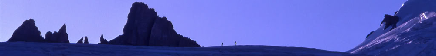
Mount Forbes in alpenglow, from Arctomys Peak
|
|
| Highest point | |
| Elevation | 3,612 m (11,850 ft) |
| Prominence | 1,629 m (5,344 ft) |
| Parent peak | Mount Columbia |
| Listing | |
| Geography | |

Mount Forbes
Location in Alberta
|
|
| Parent range | Canadian Rockies |
| Topo map | NTS 82N/15 Mistaya Lake |
| Climbing | |
| First ascent | 10 August 1902 by Christian and Hans Kaufmann, J. Norman Collie, James Outram, et al. |
| Easiest route | rock/snow climb |
Mount Forbes is a very tall mountain in the Canadian Rockies. It is the seventh tallest mountain in this huge range. It is also the highest mountain found inside Banff National Park. This park is located in southwestern Alberta, Canada.
The mountain is about 18 kilometers (11 miles) southwest of the Saskatchewan River Crossing in Banff. James Hector named Mount Forbes in 1859. He named it after Edward Forbes, who was his natural history professor. Professor Forbes taught at the University of Edinburgh when James Hector was a student there.
Mount Forbes was first climbed on August 10, 1902. A group of climbers, including Swiss brothers Christian and Hans Kaufmann, made the first successful climb. They were guiding British gentlemen like J. Norman Collie and James Outram. The mountain has a unique "shark tooth" shape. It can be seen from many different parts of the mountain range.
Climbing Mount Forbes
Climbing Mount Forbes is an exciting adventure. There are different paths, or "routes," that climbers can take to reach the top. These routes are rated by how difficult they are.
Popular Climbing Paths
Some of the well-known climbing paths on Mount Forbes include:
- West Ridge (Normal Route)
- North-West Face Variation
- West Ridge of Rosita

Getting to the Mountain
Most climbers start their journey to Mount Forbes from the Alberta side. They often begin near the Icefields Parkway. One common way to start is from the Glacier Lake trailhead. This trail leads to the beautiful Glacier Lake.
From the lake, climbers follow a path along the Glacier River. They eventually reach a large open area. After crossing the Glacier River, they find a special trail for climbers. This trail goes up a steep hill and then leads toward the Mons Glacier. Many climbers set up camp near this glacier. From there, they can climb to the peak in about a day. This first part of the journey usually takes 4 to 6 hours.
There is also a faster way to reach Mount Forbes from the west. This route starts from logging roads near Golden, British Columbia. This path is shorter and can take about 3 to 4 hours to reach a good camping spot. From this camp, climbers can also reach the summit in a day.


Gallery
-
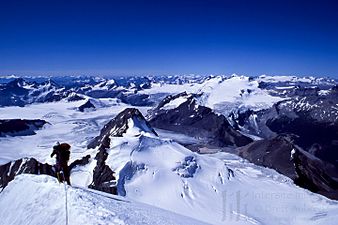
Mt. Forbes Aiguille and the Forbes' North Glacier

-
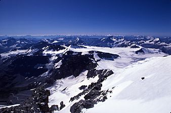
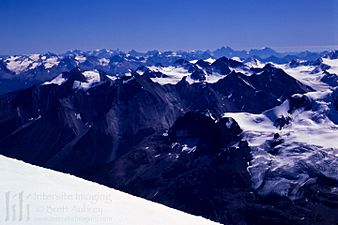
Mt. Forbes summit looking NW
-
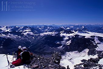
Mt. Forbes summit looking West
-
Mt. Forbes' summit looking SW
-
Mt. Forbes' summit looking SE


