Mount Ina Coolbrith facts for kids
Quick facts for kids Mount Ina Coolbrith |
|
|---|---|
| Summit Peak | |
| Highest point | |
| Elevation | 8,064 ft (2,458 m) NAVD 88 |
| Prominence | 1,118 ft (341 m) |
| Geography | |
| Location | Sierra County, California, U.S. |
Mount Ina Coolbrith was once known as Summit Peak. It is a mountain located in the Sierra Nevada mountain range. You can find it near the Nevada border in Sierra County, Northern California.
Why the Mountain is Called Mount Ina Coolbrith
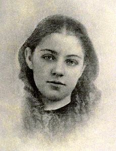
This mountain is named after a famous writer named Ina Coolbrith. When she was 11 years old, Ina traveled through Beckwourth Pass. This pass is a mountain route that is visible from the mountain.
Ina was part of a group led by James Beckwourth. She later said she was the first white child to enter California this way. In 1932, the mountain was officially renamed. The United States Board on Geographic Names supported this change. The California State Legislature and the Western Pacific Railroad also helped make it happen.
Where is Mount Ina Coolbrith Located?
Mount Ina Coolbrith is found in the Humboldt-Toiyabe National Forest. Its highest point, called the summit, is about 5.8 miles (9.3 km) west of Highway 395.
Most of the mountain, including its top, is in Sierra County, California. However, parts of its lower northern slopes reach into Plumas County and Lassen County.
The eastern entrance of the Chilcoot Tunnel is also nearby. This tunnel is close to Beckwourth Pass. It is about 6.5 miles (10.5 km) to the north-northeast of the mountain.
 | Shirley Ann Jackson |
 | Garett Morgan |
 | J. Ernest Wilkins Jr. |
 | Elijah McCoy |


