Nimmel Range facts for kids
Quick facts for kids Nimmel |
|
|---|---|
| Highest point | |
| Peak | Mount Nimmel |
| Elevation | 489 m (1,604 ft) |
| Geography | |
| Country | Australia |
| State | Queensland |
| Region | South East Queensland |
| District | Gold Coast Hinterland |
| Range coordinates | 28°11′S 153°18′E / 28.183°S 153.300°E |
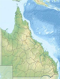
The Nimmel Range is a small mountain range located in the Gold Coast Hinterland. This area is part of the Gold Coast, Queensland, in Australia. The most important part of the Nimmel Range is Mount Nimmel, which stands 489 metres (1,604 feet) tall.
The range is found at these coordinates: latitude 28° 10' 60" S and longitude 153° 18' 0" E. It is about 20 kilometres (12 miles) from Carrara. Carrara is an inland suburb of the Gold Coast, close to Nerang. The Nimmel Range used to mark the western edge of the Austinville banana plantation. This farm was mostly abandoned in the 1930s.
Exploring Nimmel Range's Past
The Nimmel Range has an interesting history. It played a role in farming and in building important roads.
The Austinville Banana Farm
From 1934 to 1939, the Nimmel Range was the western boundary of the Austinville banana plantation. This farm was a big project at the time. However, it was later abandoned.
Building Springbrook Road
In the early 1900s, people wanted to build a road to Springbrook Mountain. This road would connect the mountain to the coast. Two pioneers, Jim Hardy and George Trapp, tried to find a path. They followed a ridge that separates two parts of Little Nerang Creek.
When they reached a certain point, they turned east. But they found that the Nimmel Range was blocking their way. They could not go straight through. So, they had to build the road by going around the base of Mount Nimmel. This path led them to Springbrook. Even today, Springbrook Road is the only main road that connects Springbrook Mountain to the rest of the Gold Coast.
 | James B. Knighten |
 | Azellia White |
 | Willa Brown |


