Padala Glacier facts for kids
Quick facts for kids Padala Glacier |
|
|---|---|

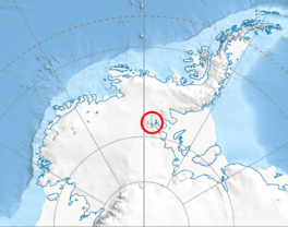
Location of Sentinel Range in Western Antarctica
|
|
| Type | tributary |
| Location | Ellsworth Land |
| Coordinates | 78°02′40″S 85°31′00″W / 78.04444°S 85.51667°W |
| Length | 5.6 nautical miles (10.4 km; 6.4 mi) |
| Width | 2.4 nautical miles (4.4 km; 2.8 mi) |
| Thickness | unknown |
| Terminus | Embree Glacier |
| Status | unknown |
The Padala Glacier (which is lednik Padala in Bulgarian) is a large river of ice found in Antarctica. It's about 5.6 nautical miles (10.4 km; 6.4 mi) (10.4 km) long and 2.4 nautical miles (4.4 km; 2.8 mi) (4.4 km) wide. This glacier is located in the Bangey Heights area, which is part of the Sentinel Range in the Ellsworth Mountains.
Padala Glacier collects ice and snow from the northeast slopes of Bezden Peak and the southeast slopes of Golemani Peak. It then flows towards the northeast and eventually joins another glacier called Embree Glacier. You can find it northwest of Kopsis Glacier and east-southeast of Marsa Glacier.
Where is Padala Glacier?
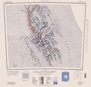
Padala Glacier is located in Ellsworth Land, a part of Western Antarctica. Its exact position is at 78°02′40″S 85°31′00″W / 78.04444°S 85.51667°W. Maps of this area were created by the United States in 1961 and again in 1988.
How did it get its name?
This glacier is named after a small town in Western Bulgaria called Padala. Many places in Antarctica are named after towns or people from different countries.
 | Valerie Thomas |
 | Frederick McKinley Jones |
 | George Edward Alcorn Jr. |
 | Thomas Mensah |


