Marsa Glacier facts for kids
Quick facts for kids Marsa Glacier |
|
|---|---|

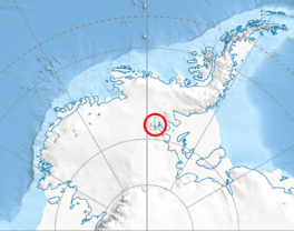
Location of Sentinel Range in Western Antarctica
|
|
| Type | tributary |
| Location | Ellsworth Land |
| Coordinates | 78°01′50″S 85°41′40″W / 78.03056°S 85.69444°W |
| Length | 2.7 nautical miles (5.0 km; 3.1 mi) |
| Width | 0.8 nautical miles (1.5 km; 0.92 mi) |
| Thickness | unknown |
| Terminus | Embree Glacier |
| Status | unknown |
The Marsa Glacier (which means "Marsa Glacier" in Bulgarian) is a large ice river located in Antarctica. It is about 5 kilometers (3.1 miles) long and 1.5 kilometers (0.9 miles) wide. This glacier is found in the Bangey Heights area, on the eastern side of the main ridge of the north-central Sentinel Range. The Sentinel Range is part of the Ellsworth Mountains.
The Marsa Glacier is situated northeast of the Patleyna Glacier and northwest of the beginning of the Padala Glacier. It collects snow and ice from the northern slopes of Golemani Peak. From there, it flows towards the north-northwest, moving between Oreshak Peak and Fucha Peak. Finally, the Marsa Glacier joins the larger Embree Glacier to the west of Mount Schmid.
Where is Marsa Glacier?
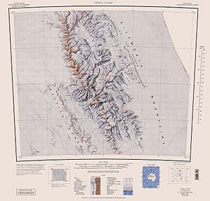
The Marsa Glacier is located in Ellsworth Land, Antarctica. Its exact center coordinates are 78°01′50″S 85°41′40″W / 78.03056°S 85.69444°W. Maps of this area were created by the United States in 1961 and again in 1988.
How Marsa Glacier Got its Name
This glacier is named after a very old settlement called Marsa. Marsa was a town in Southern Bulgaria during medieval times.
 | Precious Adams |
 | Lauren Anderson |
 | Janet Collins |


