Fucha Peak facts for kids
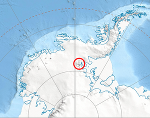
Fucha Peak is a tall mountain in Antarctica, reaching a height of 2,600 meters (that's about 8,530 feet!). It's found in the central part of a snowy area called Bangey Heights, which is in the north-central section of the Sentinel Range. This range is part of the larger Ellsworth Mountains. Fucha Peak stands proudly above the Marsa Glacier to its west and the Padala Glacier to its southeast.
How Fucha Peak Got Its Name
This interesting peak gets its name from two small villages located in Western Bulgaria. These villages are called Mala Fucha (which means "Little Fucha") and Golema Fucha (meaning "Great Fucha"). Naming a distant Antarctic mountain after these places helps connect the icy continent to the history and geography of Bulgaria.
Where is Fucha Peak?
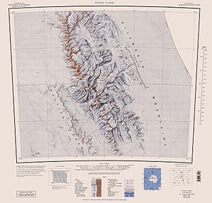
Fucha Peak is located in a very remote and icy part of the world: Antarctica! Its exact coordinates are 78°02′16″S 85°37′15″W / 78.03778°S 85.62083°W. It's surrounded by other peaks in the Sentinel Range. For example, it's about 2.45 kilometers (1.5 miles) northeast of Golemani Peak and 2.66 kilometers (1.65 miles) east of Oreshak Peak. You'll also find it about 2.8 kilometers (1.7 miles) south by west of Mount Schmid. The peak is also 11.43 kilometers (7.1 miles) northwest of Zimornitsa Peak. The maps of this area were first made by the United States in 1961 and then updated in 1988.
 | Precious Adams |
 | Lauren Anderson |
 | Janet Collins |


