Parham, South Australia facts for kids
Quick facts for kids ParhamSouth Australia |
|||||||||||||||
|---|---|---|---|---|---|---|---|---|---|---|---|---|---|---|---|

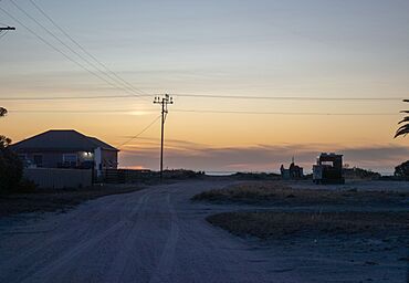
Main Street, Parham
|
|||||||||||||||
| Established | 27 July 1876 (town) 5 June 1997 (locality) |
||||||||||||||
| Postcode(s) | 5501 | ||||||||||||||
| Time zone | ACST (UTC+9:30) | ||||||||||||||
| • Summer (DST) | ACST (UTC+10:30) | ||||||||||||||
| Location |
|
||||||||||||||
| LGA(s) | Adelaide Plains Council | ||||||||||||||
| Region | Barossa Light and Lower North | ||||||||||||||
| County | Gawler | ||||||||||||||
| State electorate(s) | Narungga | ||||||||||||||
| Federal Division(s) | Grey | ||||||||||||||
|
|||||||||||||||
| Footnotes | Adjoining localities | ||||||||||||||
Parham is a small town in South Australia. It is sometimes called Port Parham. This town is located on the eastern coast of Gulf St Vincent. It is about 63 kilometers (39 miles) north-northwest of Adelaide, the state capital. Parham is also about 23 kilometers (14 miles) west of Mallala.
Contents
Discovering Parham
Parham was officially named a government town on July 7, 1876. Its name comes from John Pocock Parham, an early settler who arrived in South Australia in 1839. Long ago, people also knew it as Dublin Beach. It was an important place for ships to land as early as 1871.
Parham's Past as a Port
Before railways reached nearby towns, Parham was a very busy port. It was a major hub for shipping grain from the Northern Adelaide Plains to Port Adelaide. Large sailing boats called Ketches would carry the grain.
Parham Today
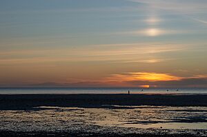
Today, Parham is a popular spot for holidays and fishing. It is especially famous for its blue swimmer crabs. Many people visit to enjoy the beach and catch these crabs.
Population of Parham
According to the 2016 Australian census, 216 people lived in Parham.
How Parham is Governed
Parham is part of different government areas. It is in the federal division of Grey. For state elections, it belongs to the Narungga district. Locally, it is managed by the Adelaide Plains Council.
 | Calvin Brent |
 | Walter T. Bailey |
 | Martha Cassell Thompson |
 | Alberta Jeannette Cassell |


