Park Valley (Arizona) facts for kids
Quick facts for kids Park Valley |
|
|---|---|
| Length | 15 mi (24 km) |
| Width | 12 mi (19 km) |
| Geography | |
| Country | United States |
| State | Arizona |
| Region | Gila River Valley ((northwest)-Sonoran Desert) |
| District | Yuma County, Arizona |
| Population centers | Dateland AZ, Sentinel AZ and Hyder, AZ |
| Borders on | Hyder Valley-NE Palomas Mountains-NW San Cristobal Valley-SW Sentinel Plain-SE |
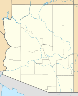
The Park Valley in Arizona is a long, narrow valley located in the central-east part of Yuma County, Arizona. It stretches from the northwest to the southeast and is centered around the Gila River. This valley is a natural landform shaped by the river over a very long time.
Exploring Park Valley
Park Valley is a unique natural area in Arizona. It's known for its dry climate and desert plants. The valley is about 15 miles (24 km) long and 12 miles (19 km) wide.
Where is Park Valley?
Park Valley is found in Yuma County, Arizona. It's part of the larger Gila River Valley region. To the southeast, the valley meets the northern part of the Sentinel Plain, which is in Maricopa County, Arizona. Water from the Sentinel Plain flows northwest into the Gila River Valley.
Nearby Towns and Roads
If you travel along Interstate 8, a major highway, you'll find it runs along the southern edge of Park Valley. Several small towns are located along this highway:
- Dateland is in the southwest part of the valley.
- Aztec is located in the center-south.
- Sentinel is further east, in the southeast part of the valley.
Water Features
A natural waterway called Tenmile Wash flows into the Gila River. This "wash" is a dry streambed that only carries water after heavy rains. It joins the Gila River on the southwest side of Park Valley. The coordinates for Dateland, which is on the southwest border of Park Valley, are 32°47′47″N 113°32′28″W / 32.79639°N 113.54111°W.
 | Tommie Smith |
 | Simone Manuel |
 | Shani Davis |
 | Simone Biles |
 | Alice Coachman |


